Resource: earthquake.usgs.gov
I always find it so fascinating when stories appear in the news about things science doesn’t quite know how to explain. Just over a week ago, Maya Wei-Haas wrote one such. story for National Geographic. Titled, “Strange earthquake waves rippled around the world, and nobody knows why,” the article did what it could to explain what happened just before 9:30 UT on November 11. The story gets off to an eery start, it reads like the beginning of Pacific Rim. Seismic waves started near Mayotte, an island in the Mozambique Channel, and rang sensors across the world. The seismic waves were felt from Chile to Canada. And they didn’t just have a quick impact, Maya Wei-Haas writes, “they rang for 20 minutes” (National Geographic).
A Twitter user, @matarikipax, did some sleuthing, noting the peculiarity of the worldwide seismic wave pattern. Scientists were openly confused. There was no earthquake near Mayotte, just a series of S-waves (slow waves). S-waves move side to side, making a zig zag formation with high frequency waves. Mayotte has been dealing with earthquakes since May 2017, the largest reaching a 5.8 magnitude in May of 2018. The accompanying seismic waves made sense, as they were triggered by earthquakes, but the S-waves on November 11 were different.
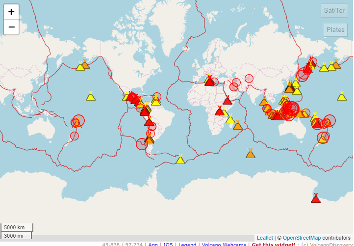
Where do these data get discovered by citizen scientists like shadowy Twitter users? @mataripax turned to earthquake.usgs.gov for information, a site which hosts the United States Geological Survey Earthquakes Hazards Program. On the site, you can look at interactive maps of the latest earthquakes, report “Did You Feel It?” information, and generate charts like the one @mataripax found below.

“This is a most odd and unusual seismic signal.” Screenshot taken by Twitter user @matarikipax on November 11, 2018.
Websites like these are important, as it helps individuals remain informed about seismic and possibly destructive activity that might be happening in their own backyards. Did you know that Puerto Rico has been experiencing earthquakes this month? Just today, an earthquake occurred off the shore of Puerto Rico. While the earthquake was too far offshore to have caused any destruction, I have no doubt that had this happened off the coast of South Carolina that I would have received a push notification from my news app. Staying aware of natural seismological shifts in the lithosphere is crucial to preparedness in the future — it was thanks to @matarikipax’s tweets going viral that more individuals heard about Mayotte.

Map of most recent earthquakes from https://earthquake.usgs.gov/earthquakes/map/
The French Geological Survey (BRGM) believes that a new center for volcanic activity might be developing offshore Mayotte. It’s an unstudied area, full of secrets in way. Mayotte is in the fracture zone where Gondwana broke up, an area still shifting. Since July, Mayotte has slid over “2.4 inches to the east and 1.2 inches to the south” (National Geographic). While there is no clear indication why S-waves were felt round the world (scientists are still ruminating over the possibility of magma chambers collapsing or deflating), Mayotte seems to be the centerpiece of future endogenic studies. BRGM is planning to do further surveys to find more about the region and its submarine eruptions, ideally without interference of the Kaiju.
As BRGM conducts its surveys, visiting the maps on earthquake.usgs.gov gives you a chance to observe the secret endogenic mysteries around the world, and on America’s own turf. There was an earthquake 12km northwest and 21.8km underneath Sweetwater, Tennessee today. The lithosphere is full of fascinating surprises, many with answers. Remaining on top of earthquakes requires the dedication of citizen scientists.


