Franz Josef Glacier of New Zealand

This site describes the Franz Josef Glacier as well as other notable landmarks in New Zealand.  It’s interesting because it describes different processes that occur between the glacier and the land around it, such as the distance each glacier recedes each year.  The website also going into other notable elements and processes around Franz Josef Glacier, such as the Alpine Fault, geology of the area, and factors affecting the Waiho River which flows out at the foot of the glacier.  There are also a number of conservation projects described to protect the landforms and the surrounding environments.

Daylight Hours Explorer

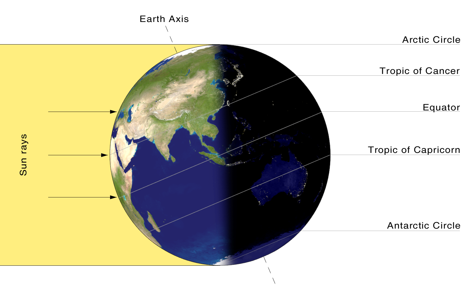
Here is an interesting website that allows you to track how many hours of daylight there will be on various days of the year in different regions around the globe.  You just plug in your latitude and the date of interest and it shows you on a clear graph how many hours of light there will be.  There is also a globe where you can see where the sunlight is being directed at this time.  This is an important factor in determining seasons, as we all know now. The equinoxes, solstices and yearly averages are also noted on the graph. Take a look!

*Bonus : On what day do the Sun’s rays hit the Earth at the angle shown below??

Summer Solstice

Powerful “Mother Nature”

This post describes 8 of the Most Devastating Deadly Land Disasters. Throughout this WebEcoist site, the reader can really grasp the true power of “Mother Nature”.  In the past, catastrophic events have been preceded by natural precursors and since the new year has began, a series of powerful of earthquakes has been documented by eyewitnesses. The site also erases any anthropocentric mindset a reader might have by creating a sense of scale of the world we live in.

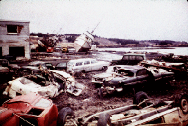
The 1964 Great Alaskan Earthquake

Good Friday Earthquake

The Alaskan earthquake generated a tsunami which destroyed this
waterfront in Kodiak.

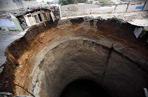
Sinkhole in Guatemala

sinkhole.jpg

This photo is of a sinkhole that occurred early this year in Guatemala . The hole swallowed a dozen homes and killed at least 3 people.

Clouds 365

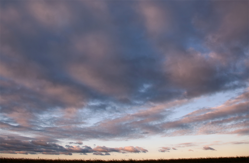
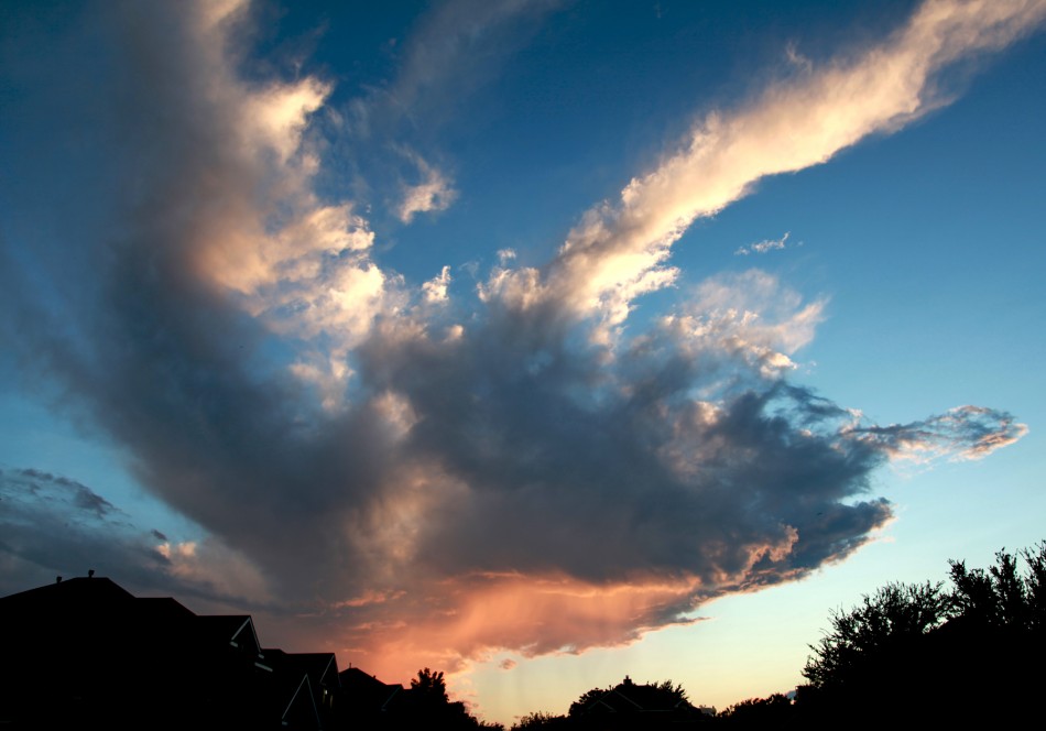
This website is all about clouds.  The author of this blog, Kelly Dulay, has committed to taking videos and pictures of clouds everyday for one full year.  The videos are amazing and the pictures are all so complex and different.  The artist has classified his photographs according to month and time of day.  This website is a wonderful combination of art and geography.  The artist includes his philosophy on producing and creating art in the “About” section of the blog.  Enjoy!

Clouds!

Landsat 7 Satellite Images

This phenomenal satellite imagery reminded me why geography is obviously the best major.

Lena Delta – The Lena River, some 2,800 miles (4,400 km) long, is one of the largest rivers in the world. The Lena Delta Reserve is the most extensive protected wilderness area in Russia. It is an important refuge and breeding grounds for many species of Siberian wildlife.

Malaspina Glacier – The tongue of the Malaspina Glacier, the largest glacier in Alaska, fills most of this image. The Malaspina lies west of Yakutat Bay and covers 1,500 sq. MI (3,880 sq. km).

Here is the official website of the Landsat Program: http://landsat.gsfc.nasa.gov/

Jointly managed by NASA and the USGS, this is a remote sensing satellite system responsible for taking imagery of Earth since the early 1970’s – nearly 40 years now. The most recent installment, Landsat 7, was launched in 1999. Landsat 7 orbits the entire Earth roughly every 16 days, taking approximately 532images per day. These images are especially useful for evaluating the extensive changes our planet undergoes either from natural or man-made causes.

The Landsat team compiled a small collection of the most fascinating images into a presentation called Our Earth As Art, which is where I found the images in this post and the link for which is posted below.

http://earthasart.gsfc.nasa.gov/image_index.html

2,175 Miles of Geography

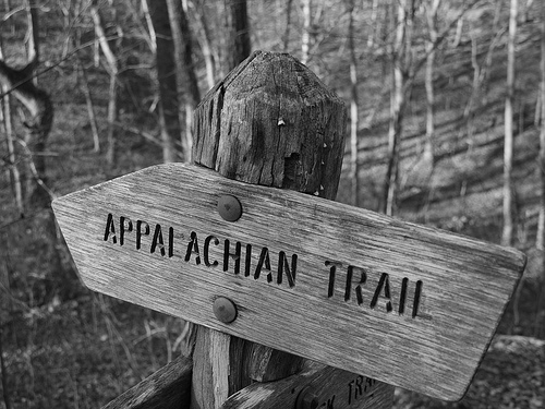
 This is a summary of the Appalachian Trail Conservancy website.  The Appalachian Trail runs from Katahdin Mountain in Maine to Springer Mountain in Georgia and touches 14 states.  The trail was completed in 1937 and is a privately managed unit of the national park system.  On this site, you can find all the information needed to hike the trail, learn about the conservancy, and  how to get involved.  Trail conservancy is very important in maintaining this American landmark and this site has lots of information on how to help conservation efforts.  The design of the site is very user friendly and professional.  The Appalachian Trail is always in need for people who are fluent in mapping and GIS!Trail MarkerThis was taken where the Appalachian Trail crosses the James River in Big Island, Virginia just before sunset. Photo from Flickr.

The Science of Gardening!

This is a summary of Exploratorium’s website on the science pertaining to gardening. It’s really interactive with videos and activities which provide a fun-filled way to learn about the soils and conditions affecting plant growth. There’s a good amount of information on various topics including but not limited to: the make up of soil, creatures that live within the pedosphere, the importance of plant biodiversity, grafting, hybrids, transgenics, gardening in Antarctica, and the cultivation history of common edible vegetation. I was very impressed by the set up of the site and found it accessible to a wide audience spanning from teens to older adults. The site is the product of two foundations: the National Science Foundation and the Gordon and Betty Moore Foundation which is focused specifically on the environment and is based in California.

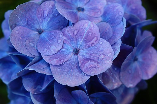
Try to find out when the tomato was first written about, what lives in your soil, and why burying rusty nails in your soil will turn your hydrangeas blue. Happy hunting!

Storm trooper tomatoWORM!blue hydrangeas

All photos from flickr creative commons.

An Outside Perspective


This website, Visible Earth, shows a collection of satellite images and animations taken by NASA of our planet.  I found the satellite photo taken by NASA of the entire earth at night quite interesting.  The amount of development or lack thereof is evident from the concentrated areas of light.  The amount of information we can gain from taking an outside perspective on our earth is astonishing, and an integral part of geography.  Check out this image as well as some of the other ones, our planet is beautiful but us humans have done quite some damage to it!

Chesapeake Bay Foundation

The Chesapeake Bay Foundation (CBF) was created in 1967 and works to restore the health of the Chesapeake Bay through educating, advocating, litigating, and restoring. The vision of the organization is that "the Chesapeake Bay and its tributary rivers, broadly recognized as a national treasure, will be highly productive and in good health as measured by water clarity, lack of toxic contaminants, and abundance of natural filters in the water and on the land." Each year, the organization creates one specific goal that they work to achieve. This year, CBF is trying to increase the Chesapeake's Health Index score form 27 to 40, and ultimately get it to 70 by 2050.  Other ongoing goals include reducing the annual loading of nitrogen by 50 percent, reducing the flow of toxic chemicals to the Bay watershed by 25 percent, achieving a tenfold increase in the oyster population, a twofold increase in the blue crab population, and a fivefold increase in the shad population, and reducing the of loss of forests, farms, and wetlands by 30 percent.

Flickr CBF image