
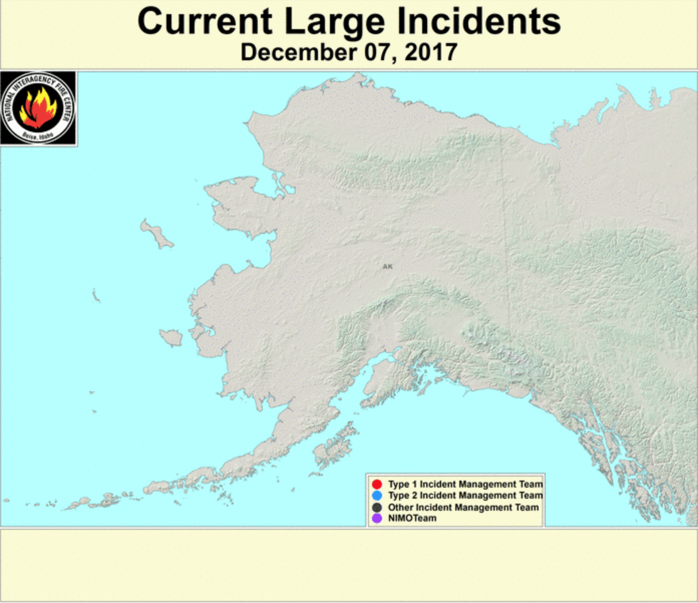
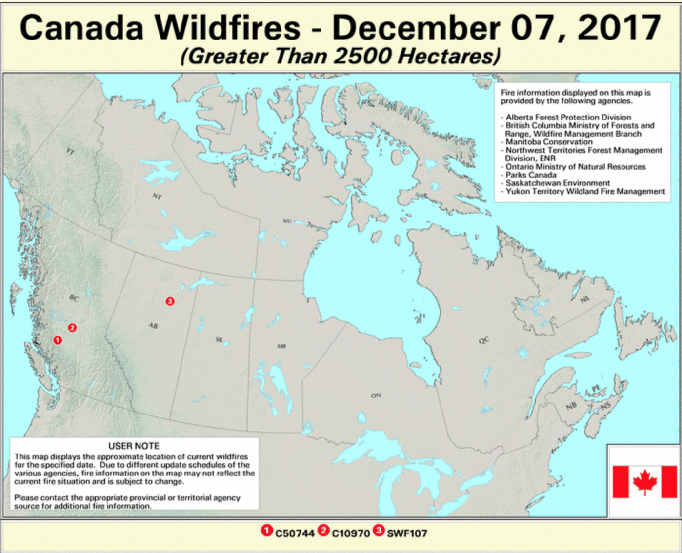
The USDA Forest Service has a website dedicated to show daily updates on forest fire incidents in the United States and Canada. They use remote sensing as well as GIS to make an interactive map on their website. This website isn’t very modernized or updated in terms of it’s look, but it does offer a lot of updates every single day on fire activity around the country. Every incident comes up on the map as a point, and it allows you to click on it, providing a description on the fire report, including the name of the fire, the burnt area in acres, a percentage of increase from the past day if there is one, the location, the cause, the incident type team, the containment status percentage, and the expected containment date. This is all valuable information especially for people who live in the area and have evacuated, as well as for people like me who are not home and can check on the status and locations of the fires so I can make sure my family isn’t near them. I think this website is extremely relevant especially since there has been an increase in the amount of forest fires in the past couple years as well as many incidents that are currently spreading in the past couple of weeks.

The website also includes different subsections with different maps including: Current Large Incidents, New Large Incidents, Fire Detection Maps, MODIS Satellite Imagery, VIIRS Satellite Imagery, Fire Detection GIS Data, Fire Data in Google Earth, Fire Data Web Services, Latest Detected Fire Activity, and some other subsections that have general information about forest fires.


Click Here to see the website