ArcGIS Online has a public database of professional Storymaps on a variety of environmental and global issues. You can explore one series of storymaps titled “The Living Land,” on the distribution of human activities on the surface of the Earth. Chapter Two of this resource takes a special look at the distribution and impact of agriculture, animal husbandry, and farm land on the Earth.
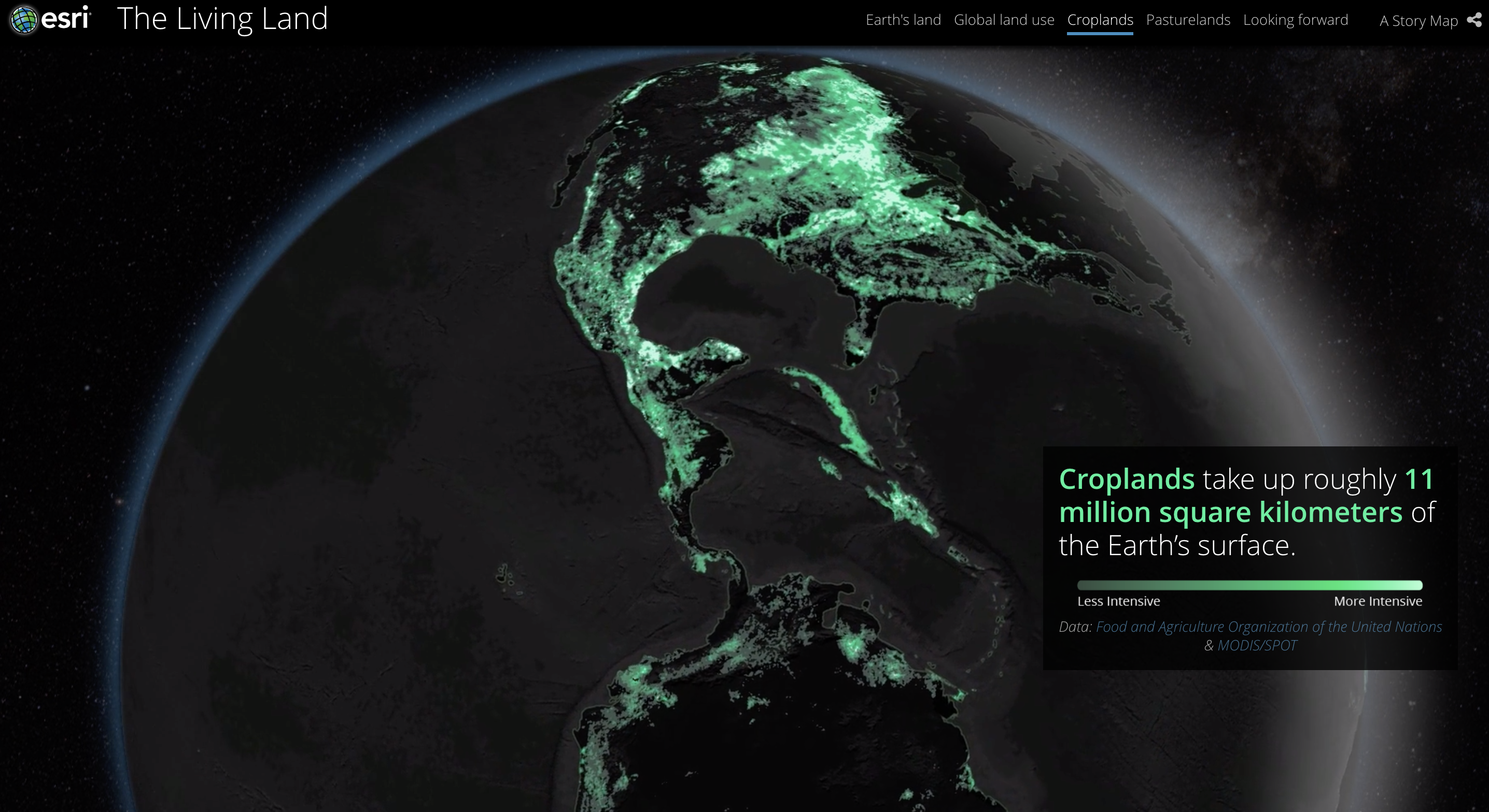
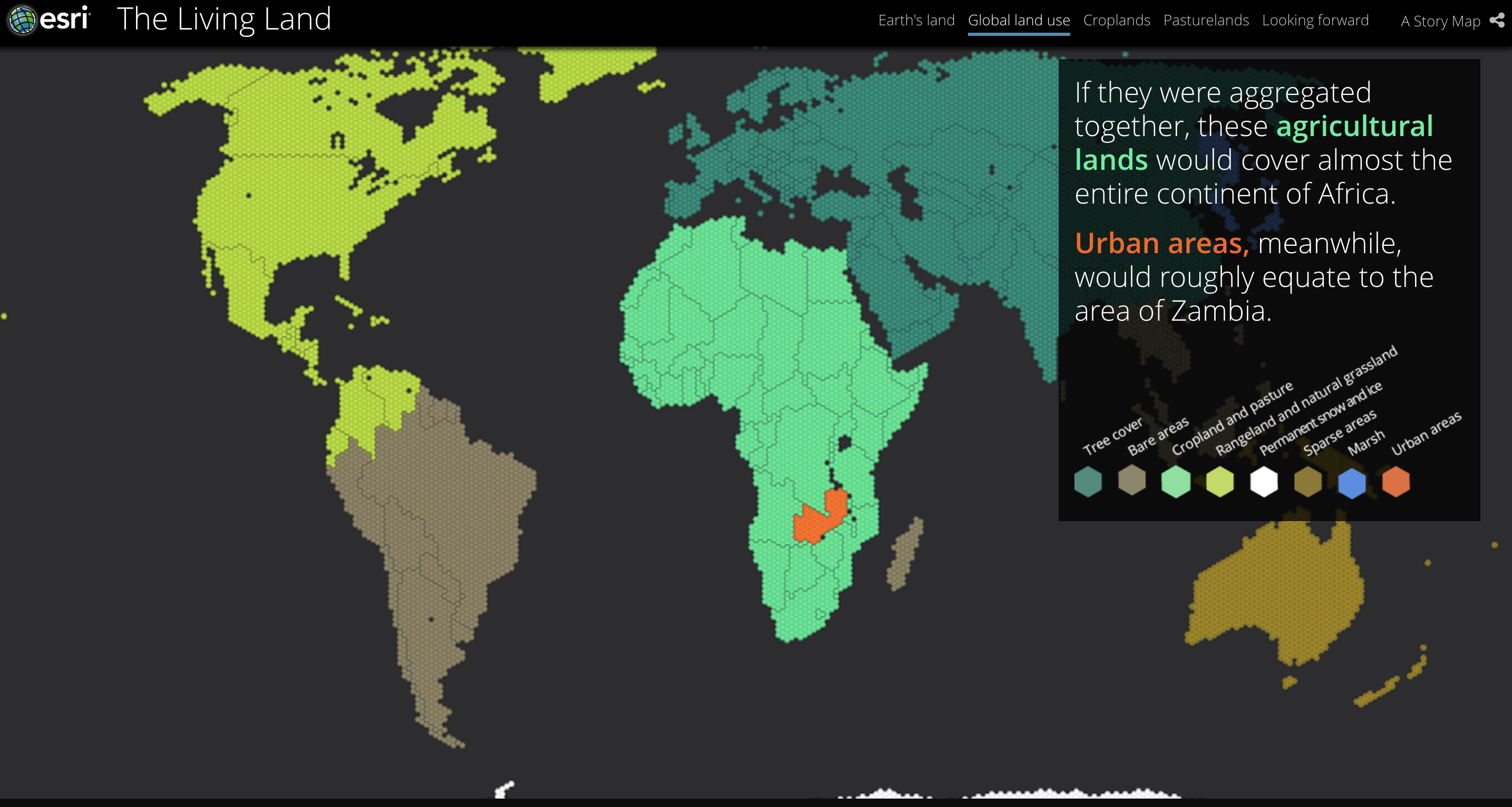 This storymap takes the user through the distribution as percentage of land, by regions of the world, density, and areas of highest production. It also describes how crops change the land and how each of humanities major crops (corn soy, rice, etc.) and major livestock (cows, chickens, goats, etc.) are grown around the world using aerial imagery. This storymap relies heavily on maps, as it should, to demonstrate these environmental and social issues. This includes simplified dot representation of the predominant crop in one area, to spinning globes with particular crops highlighted. This web application is a useful tool to demonstrate spatial distributions in a way that is easy to understand. It takes you through a whole system of human behavior around the world and its impacts on land (impact on pedosphere) depending on different practices.