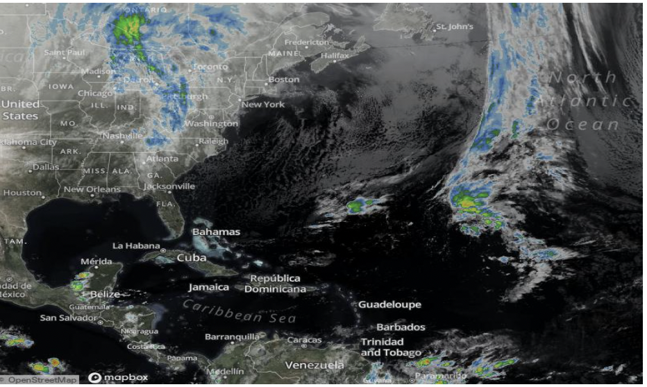
Weather Undergroundprovides a map for hurricanes and tropical cyclones. On this website, one can also find a hurricane archive which gives all the data from previous tropical storms dating back to 1851. For example, listed in the table under archives are things like the year they occurred, number of deaths, damage (in millions), etc. In addition, this site has a tab labeled “hurricane preparedness” where individuals can find resources and other helpful tips and tricks when preparing for an extreme weather event.
I think this website can be very useful when studying the impacts of hurricanes throughout history. I also like that it goes beyond the field of science and provides information on the economic loss involved with extreme storms. Beyond that, it can be strictly educational. People who do not live in areas prone to severe weather events can simply learn about and track them through here. While others who live in areas near the Atlantic coast or the Gulf of Mexico, having a map and satellite imagery showing current events will be very useful in preparation for a storm. Thus, this website can be a useful tool to a wide range of users. I find this website very interesting because I live in Florida, a state heavily impacted by hurricanes. Using the data and live trackers, it might help me be extra safe the next time I inevitably encounter a storm.
Source: https://www.wunderground.com/hurricane