
The National Oceanic and Atmospheric Administration’s (NOAA) National Weather Service’s (NWS) Storm Prediction Center contains numerous maps of the United States that show if any severe weather is present or if there will be any in the future. Their “Forecast Products” include Current Convective Watches and Outlooks, which show the potential for tornadoes and severe thunderstorms from today to eight days away; Current Mesoscale Discussions, which show all current severe weather; Fire Weather Outlooks, which show the potential for wildfires today and up to eight days away; and the Watch, Warning, and Advisory Display (WWA) which shows all types of WWAs. All of these maps are easy to understand and allow the user to easily see which type of hazardous weather is in their area. The user can also read a detailed statement released by the NWS that explains what could happen.
It is pretty impressive that the NWS can predict severe weather up to eight days in advance. People can use this site to see if any storms are heading their way and how bad they will be. However, the thing about weather is that it is always changing and the NWS constantly needs to update their maps and descriptions.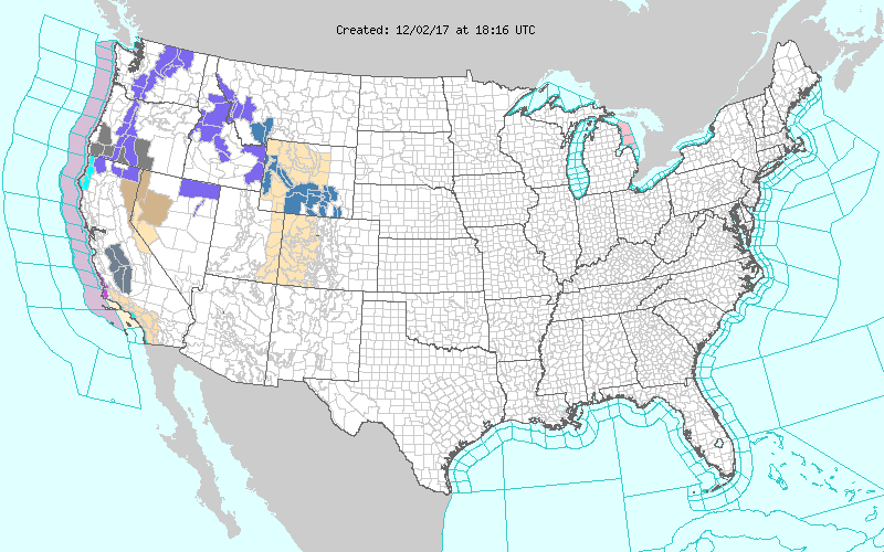
NWS Watch, Warning Advisory Display 12/02/17 1:16pm EST