
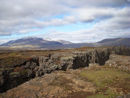
The North American Tectonic Plate
Photo courtesy of Flickr Creative Commons
This page, hosted by the US Geological Survey, contains animations to help kids (or college students) learn about different kinds of faults, the effects of earthquakes on the Earth's surface, and other aspects of plate tectonics. Other animations include great circles, liquefaction, and many more!
In addition to being a great resource to generate interest in geography and plate tectonics at a young age, this site would help anyone more interactively and visually understand the earthquakes and other forces that have so drastically impacted our world throughout human history, especially in the last six months.


