
Analyzing the Distribution of Vegetation Zones and Mountain Gorillas in Virunga National Park

Mountain Gorilla
How are abiotic factors, vegetation zones, human activity, and distribution of mountain gorillas linked?
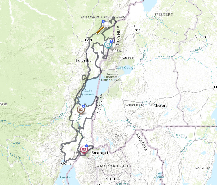
On National Geographic’s Website (https://www.nationalgeographic.org/activity/analyzing-distribution-vegetation-zones-and-mountain-gorillas-virunga-national-park/), there is an interactive activity in which scientists and geographers analyze Virunga National Park along the eastern edge of the Democratic Republic of the Congo along the Mitumbar Mountains. It is the oldest national park in Africa. The geography of this park ranges from grasslands and wetlands, to lava plains and natural glaciers, and is home to various species (nat.geo.org/mapmaker-abiotic-factors-virunga). 
The national park was designated in order to protect these mountain gorillas. They are omnivores but usually have plant-based diets. “Poaching, encroaching human populations, and violent conflicts in the area continue to affect mountain gorilla populations” (https://www.nationalgeographic.org/activity/analyzing-distribution-vegetation-zones-and-mountain-gorillas-virunga-national-park/ ). Illegal timber cutting is also becoming a big issue in the area. This is mappable from the site.
This Website shows the change in vegetation and gorilla populations in the National Park as a result of human activity. This relates to physical geography because it connects the lithosphere and biosphere between the national park territory and anthropocentric effects.
With a rise in populations it is more imperative now that people are made aware of the changes this ecosystem is experiencing due to selfish and illegal activity on supposedly-protected lands.
Website; https://www.nationalgeographic.org/activity/analyzing-distribution-vegetation-zones-and-mountain-gorillas-virunga-national-park/
This website is a great way to learn and interact with a real-life example of how physical geography impacts the ecosystem of the Virunga National Park. This would be a very interesting activity to do, because it incorporates concepts like ecosystem diversity, precipitation, elevation, temperature, and the impact that human activities have on these. The MapMaker feature is especially fascinating, because it allows you to look at the average rainfall of the area, as well as the plant growth. Overall, this is a great site that emphasizes many aspects of physical geography while also calling attention to how human activities are affecting the environment.
This post is so interesting! This website talks about the issues we have been discussing in class like human impact on the environment. This website really lets you see all of the different ecosystems that are present in this national park. This website also shows the importance of mapping when it comes to tracking impacts such as illegal logging. This interactive lesson is an accessible way to communicate the differences in ecosystems and why biodiversity is important.