
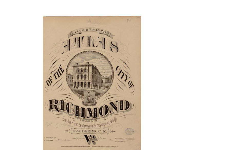
F. W. Beer’s Illustrated Atlas of the City of Richmond, VA, was published in 1877 and is an illustrated collection of maps of nineteenth century metropolitan Richmond. Richmond, Virginia was the capital of the Confederacy and after the Civil-War Richmond still remained an important center of commerce and trade in the Reconstruction Era South. This atlas has significance because our university, the University of Richmond, is located in Richmond and this map chronicles Richmond’s vast history through cartographic means.
Link: http://www.loc.gov/item/2005630891/