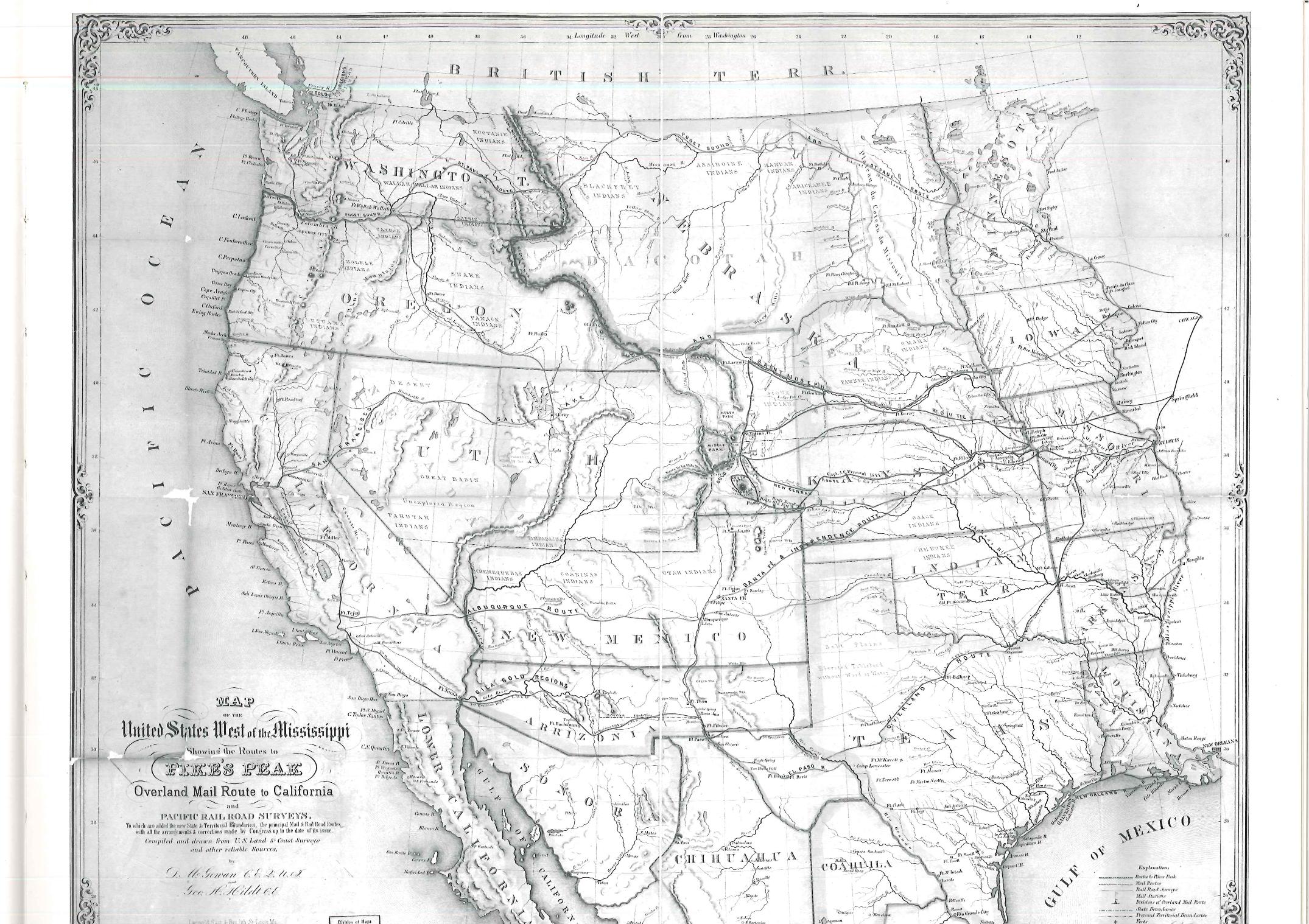
A black and white map that displays the discovery of the routes to “Pike’s Peak” demands the audience to place themselves in the historical setting of this map. With labels such as “British Territory” representing the modern time Canada and “Indian Territory” as Oklahoma, the map is a snapshot of the United States at one point in history, specifically the year 1898 as the description claims. Though many familiar states are represented on this map, there are also those that are missing according to the United States today. While it may not be in the cartographer’s primary intention, maps tend to record a time in history that reflects the values, politics, and events of the time period.
Grace Chang
Source: Boatwright Memorial Library Maps & Atlases

