Joora Baek, Project1 Final map
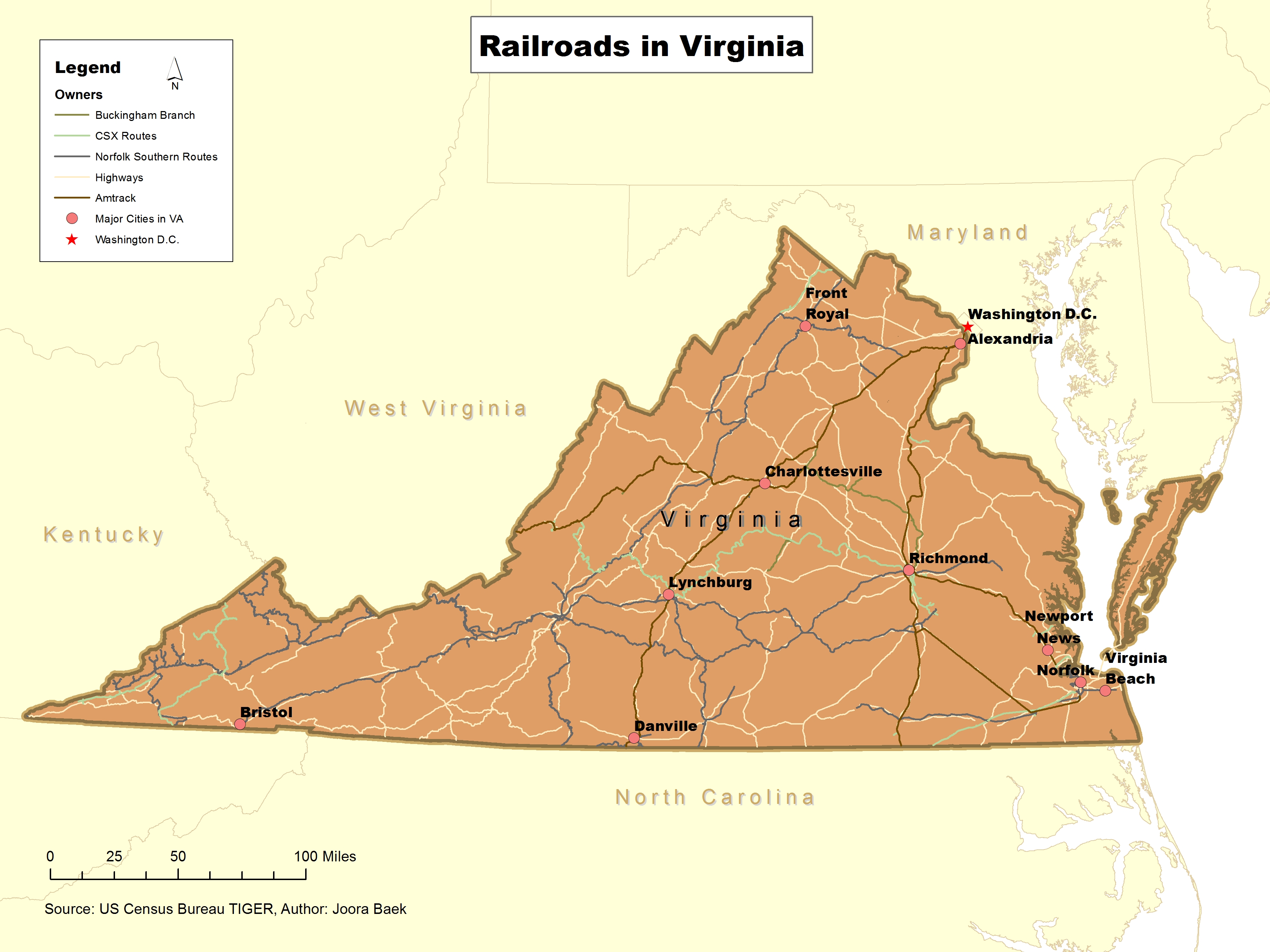
This map shows the railroads and highways in Virginia. Because there are major cities shown on the map, it is easy to figure out where the railroads are located and how they connect different cities. This map is important to policy makers who want to see if they need to improve the railroads in Virginia. In addition, transportation and shipping companies, and the citizens who are going to use the railroads can also be the audiences of this map. I presented different kinds of owners of railroads in various colors using data of US Census Bureau TIGER. It was hard to make the railroads in different symbols, which might help people to easily recognize them as railroads, because the railroad symbols were broke and not clean on the map.