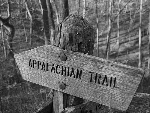
This is a summary of the Appalachian Trail Conservancy website. The Appalachian Trail runs from Katahdin Mountain in Maine to Springer Mountain in Georgia and touches 14 states. The trail was completed in 1937 and is a privately managed unit of the national park system. On this site, you can find all the information needed to hike the trail, learn about the conservancy, and how to get involved. Trail conservancy is very important in maintaining this American landmark and this site has lots of information on how to help conservation efforts. The design of the site is very user friendly and professional. The Appalachian Trail is always in need for people who are fluent in mapping and GIS! This was taken where the Appalachian Trail crosses the James River in Big Island, Virginia just before sunset. Photo from Flickr.
Geography 250

This website is really informative and easy to navigate. Great for people interested in hiking parts of the trail or joining the 6,000+ other volunteers who spend over 200,000 hours a year working and protecting this 2,175 mile terrain. I found it amazing that over 10,000 people have hiked the entire trail from Maine to Georgia – according to the website, that’s about 5 million footsteps in length! I also noted the lowest elevation is found in New York with 124 ft and the highest elevation is in Tennessee at 6,625 ft. The interactive GoogleMap was pretty cool, too. Great website and really helpful for those interested in hiking and learning more about it the trail and its geography.
You should of put the website to open up in a new window. Anyways, the interactive trail portion was kinda cool because i have been on the trail before but did not realize how far it went and it would be cool in the future to check out some of the other spots. No way am i going to do the whole thing all at once.
This is a fascinating website. I’ve been interested in the Appalachian Trail ever since I read Bill Bryson’s book, ‘A Walk in the Woods’. However, from the book I was only able to learn about a couple of parts of the trail. This website (which I did not know of before) is easy to use and has excellent information regarding the entire trail. One thing I always find incredible is that the trail is maintained by volunteers. Maybe one day I’ll be able to use the information from this website to hike certain parts of the trail (especially since some of the parts are so close!).