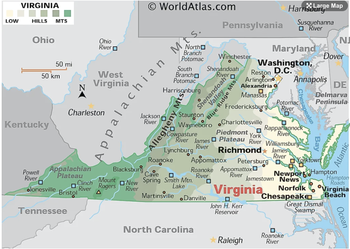
This atlas represents Virginia and explicitly showcases the extent of the state. The majority of Virginia is forested land, dominated by mountain ranges that go through the state’s western half. It is interesting to note the number of rivers in the state, including the James, Potomac, Shenandoah, Rappahannock and York. The mapmaker’s utilization of color stood out to me, where the use of green showcases how much of Virginia is composed of mountains.
Reference:
“Maps of Virginia,” https://www.worldatlas.com/maps/united-states/virginia

