
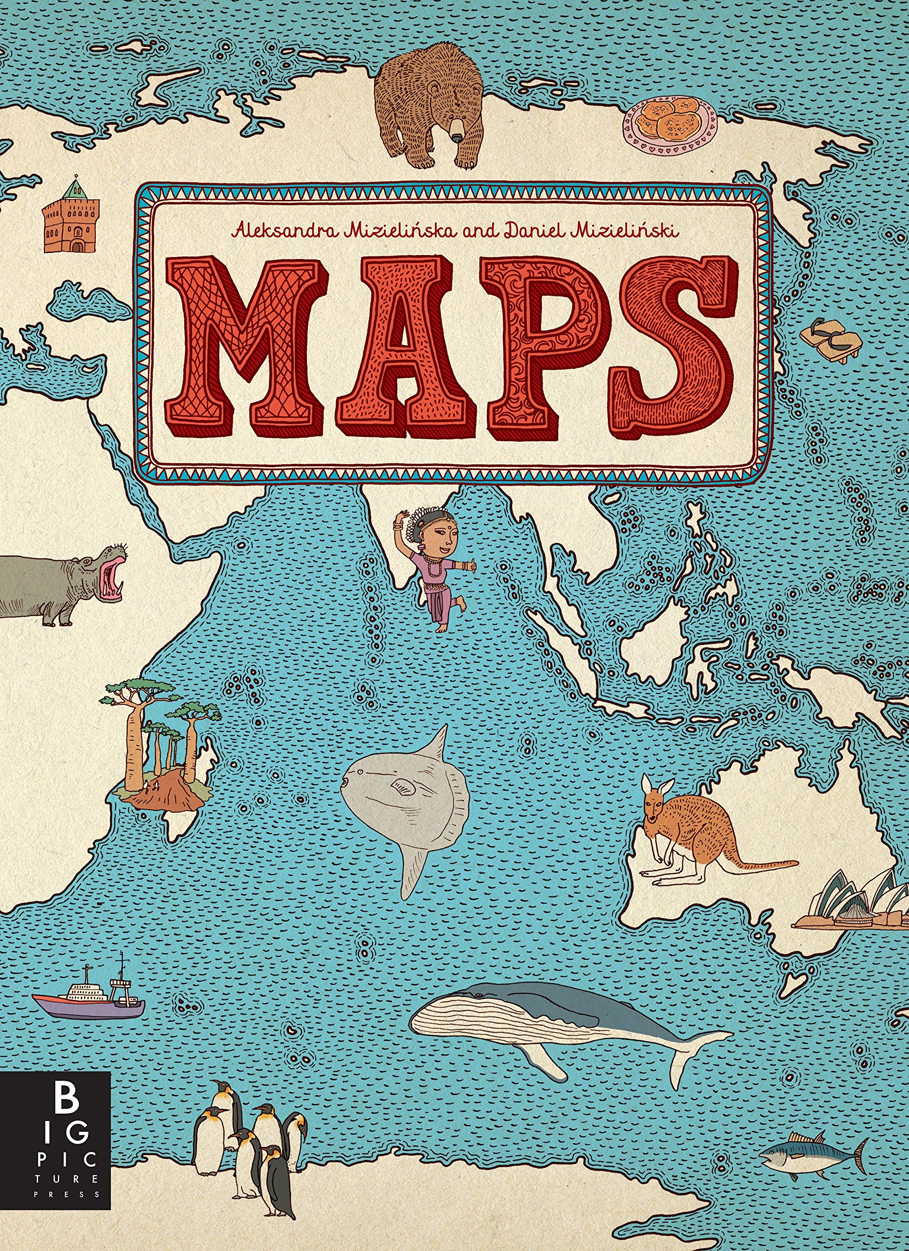
I chose Maps by Aleksandra and Daniel Mizielinski as this week’s Atlas of the Week. In this class, we have talked about how maps can be weaponized and used as tools of the state, but we have also discussed the idea of maps as an artistic medium. This atlas falls into the latter category. The authors create maps for every region of the world with elaborate illustrations capturing not just the traditional borders, rivers, and cities of the planet, but also marks of cultural, historical, and contemporary significance. The maps in the atlas capture the people, animals, geography, architecture, and traditions of countless different locations. It creates a palatable method in which people can increase their knowledge of the planet through a fresh take on cartography. Maps of this nature are so important as they challenge the traditional belief that a map is a snapshot of a geographic location at a specific point in time, but instead offer a dimension of depth to the basic lines drawn on a piece of paper.