
Atlas:
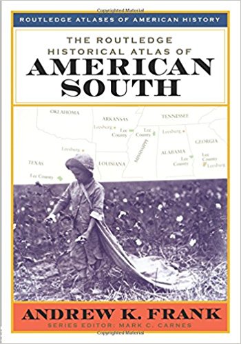
The Routledge Historical Atlas of the American South written by Andrew Frank is a relevant atlas to look at, as it is connected to my “Map of the Week”. The atlas full of beautiful maps and drawings of the South, which clearly define what states make up the American South. Additionally, the atlas takes the reader through the history of the American South up until the “Modern South”. One of the sections is the “Confederate South”, which includes full color maps of the agriculture and railroads. If you are interested in learning more about the “Map of the Week” and its historical context, this atlas is worth the read.
Blog:
At first glance, the Radical Cartography map blog does not appear to contain much content. Despite appearances, this site contains a plethora of dynamic and relevant maps. On the left side of website under projects, a large drop down menu appears which allows the user to choose between a variety of maps to browse through. Since I am from Boston, I went to the geographic section, then to Boston. There were up-to-date subway maps and maps that illustrated the income gap between different areas of the city. Each map has a little description next to it and gives credit to the creators of the maps.
http://www.radicalcartography.net/
Both of these resources are worth checking out to expand your map knowledge, as well as look at some cool maps just for fun!
– Maddie
Reference:
Frank, A., & Carnes, M. C. (1999). The Routledge historical atlas of the American South. New York: Routledge.