
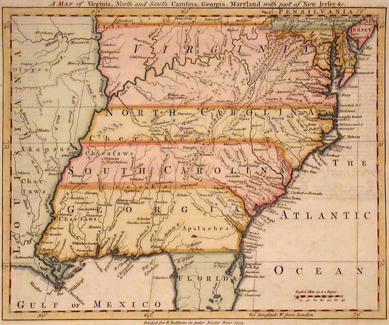
(pictured above: A Map of Virginia, North and South Carolina, Georgia, Maryland With Part of New Jersey &c.)
With everyone from Ptolemy to the 1890s, George Ritzlin Antique Maps & Prints has sold centuries-old atlases and prints for decades. Not only does this online atlas connect you with multiple galleries full of cool old maps, but it also offers a place to learn more about cartographers and the history of mapmaking – not to mention a collection of scholarly references available to the public as a study resource.
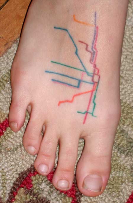
I recommend visiting their “News” tab for a moment, which is updated sporadically with interesting or unusual maps. Currently posted is a map of the Chicago Transit Authority elevated system tattooed on a woman’s foot.
“George Ritzlin Antique Maps & Prints.” George Ritzlin Antique Maps & Prints. Accessed October 2, 2014.
I can’t stop myself laughing when i see the 2nd picture. It’s very funny but it looks alike athe map in the 1st picture. Lol