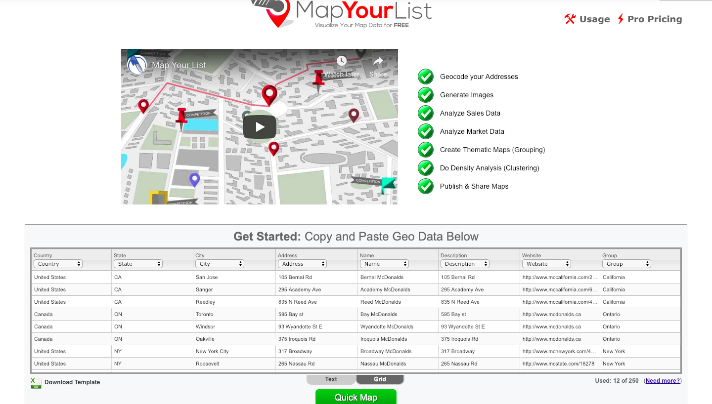
Mashups use mapping services or photo services to produce visualizations of data. Combined with GIS, a mashup allows for the combining of multiple sources of data into one integrated spatial display. It allows for the extracting of spatial data from a non-spatial source and displaying it on a map. The MapYourList mashup converts lists into maps and annotations, and share or export maps in a variety of formats. MapYourList is great for thematic mapping. MapYourList.com will determine if a data set contains values that can be thematically mapped and offers the option to create a thematic map.
MapYourList.com makes it easy to convert your list of addresses into map locations as well as allow you to copy and paste data. Once the data is copied and pasted you will also want to set what each column is. MapYourList.com will also allow you to customize and set what each column is and it can also do it automatically. The web application requires you to specify title, description, and password to your map to allow for later editing and for secure viewing of the map. The application also has a variety of options for map sharing such as widget/embed codes (for websites and blogs), image saving, emailing, and KML file saving.