Post by Marissa Parker ’16
Last week in the SAL, we took on our first full project as SAL interns, working for the Chesapeake Conservancy and the Capital Region Land Conservancy (CRLC). The Capitol Region Land Conservancy is a local non-profit land trust that aims to “conserve and protect the natural and historic land and water resources of Virginia’s Capital Region for the benefit of current and future generations” by facilitating the creation of land easements. These land easements permanently limit development to maintain the health of watersheds.
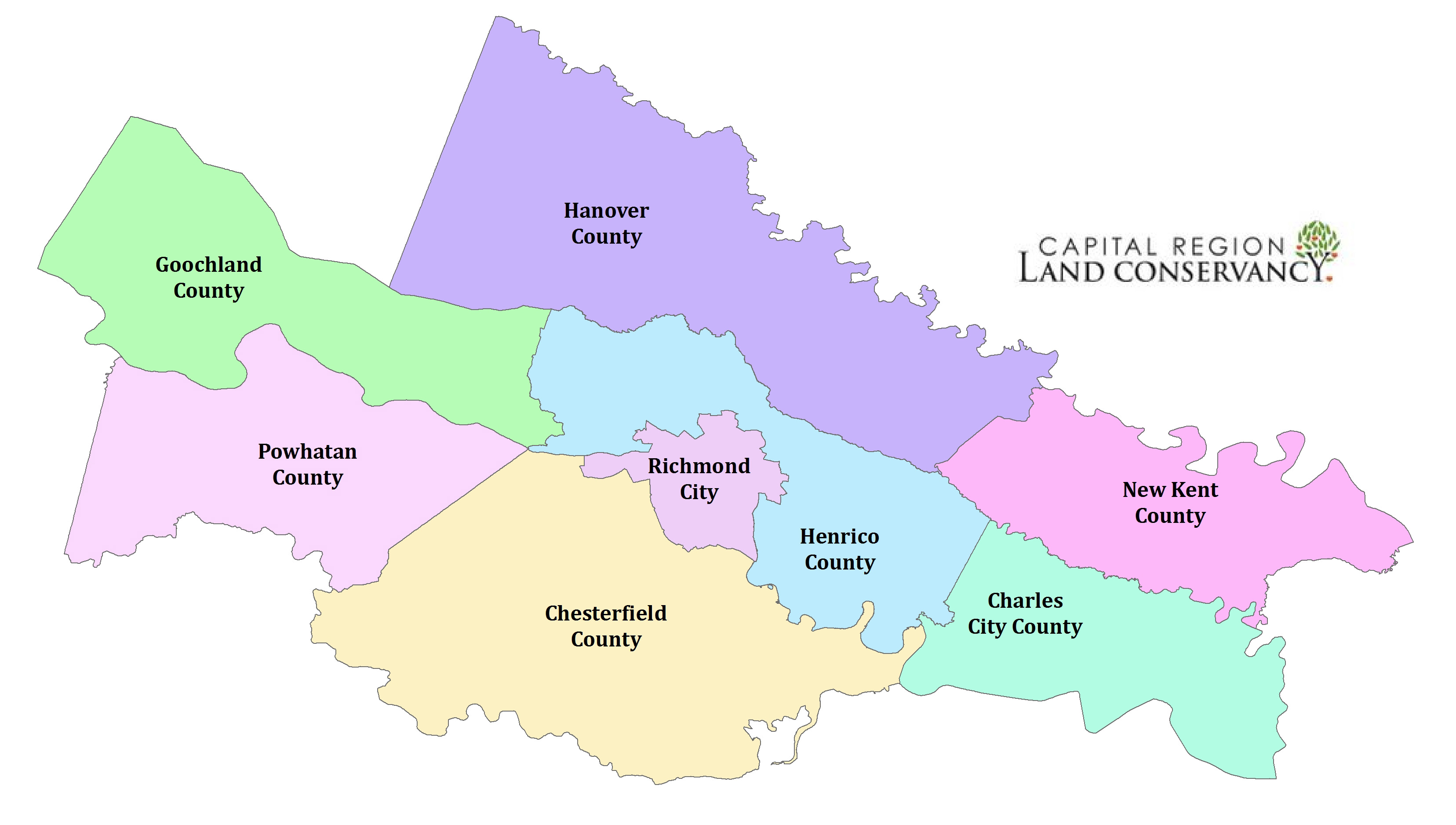
To assist in their efforts to protect our community’s ecological health, we provided GIS services to the CRLC working in collaboration with the Chesapeake Conservancy. Our project for these clients was to create a database to evaluate various attributes of land parcels within eight counties (see map above) surrounding Richmond to help the CRLC make informed conservation decisions. Some attributes that we evaluated include location of each parcel within a floodplain, amount of natural land cover and wetland habitat, and the inclusion of historic places. Using ArcGIS software, we completed these analyses to create a single geodatabase containing extensive information on each land parcel in the eight counties.
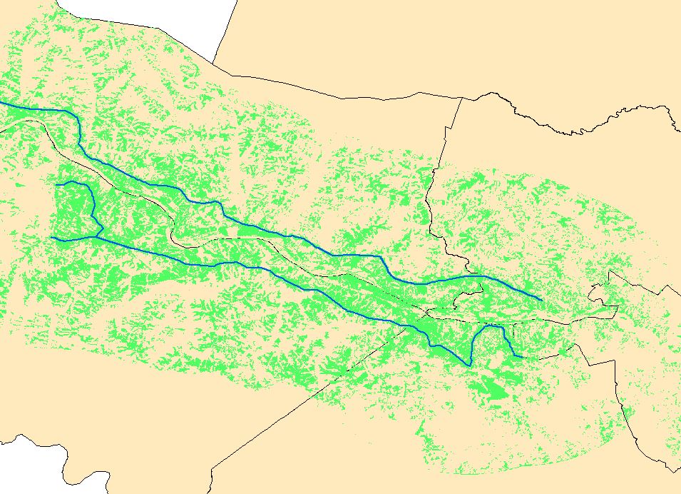
We also completed a Viewshed analysis on local scenic byways—roads that run along the James River—which displayed areas that are and are not visible from the scenic byway, up to 5 miles away. This provided information on visibility of land parcels from scenic byways, which also will inform CRLC decisions. The picture below shows how some areas are visible from the byways while others are not, due to elevation and canopy cover.

The blue lines are scenic byways with views of the James River. The green areas are pixels identified as “visible” from the scenic byways. We included if a land parcel contained visible pixels in the data we sent the CRLC.
This project will help the CRLC in their creation of new conservation easements and provided us interns with first experience working as a team to complete a large project using GIS.

