Category Archives: Uncategorized

2019 VAMLIS GeoCon

March 26-27, 2019

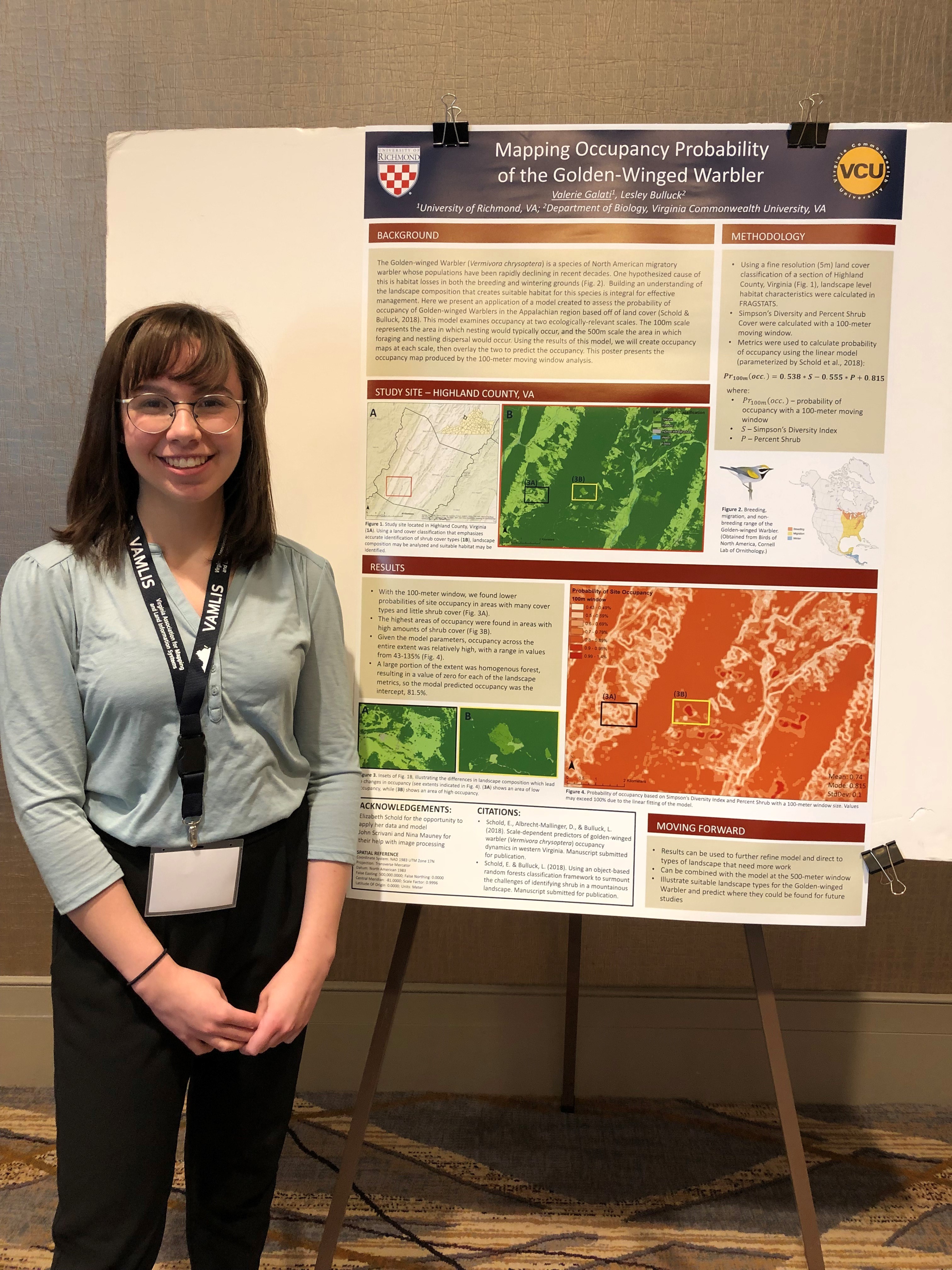
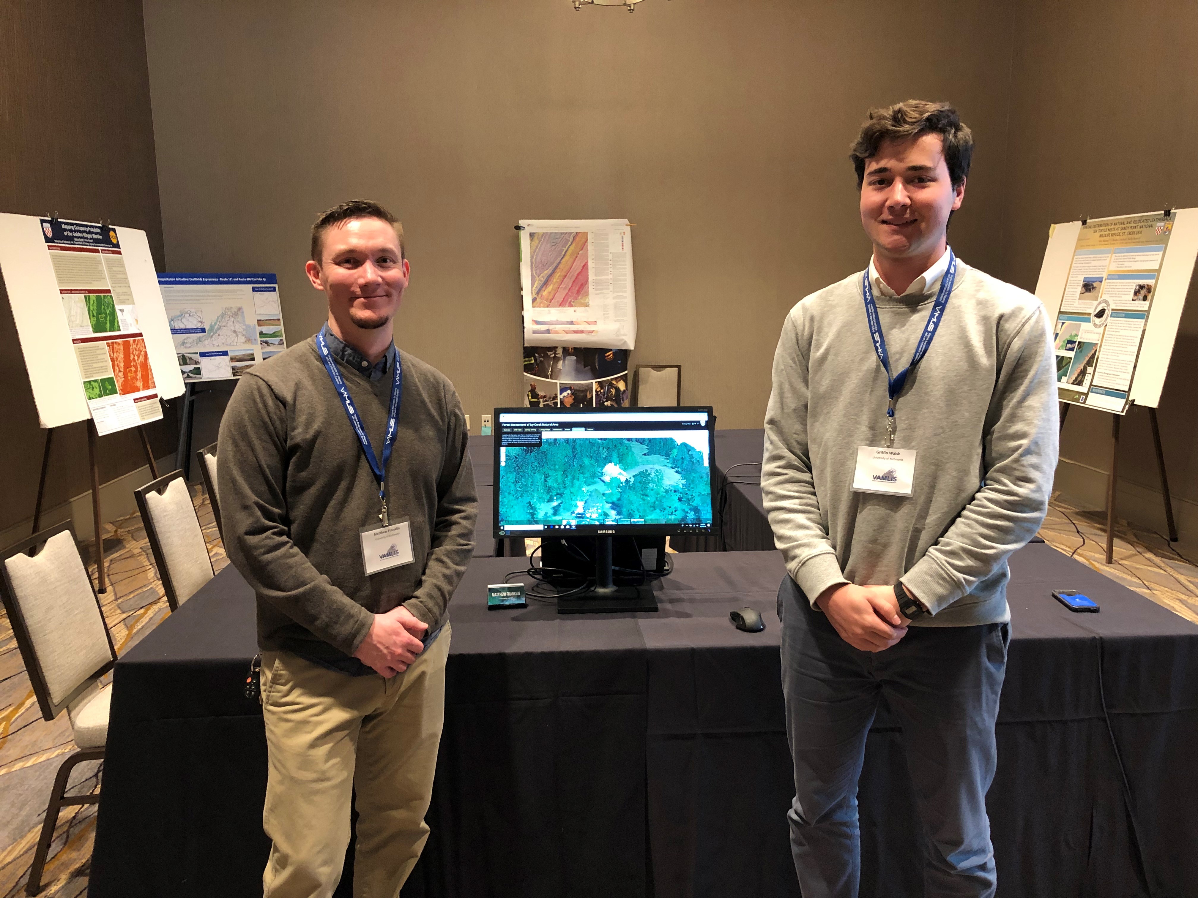
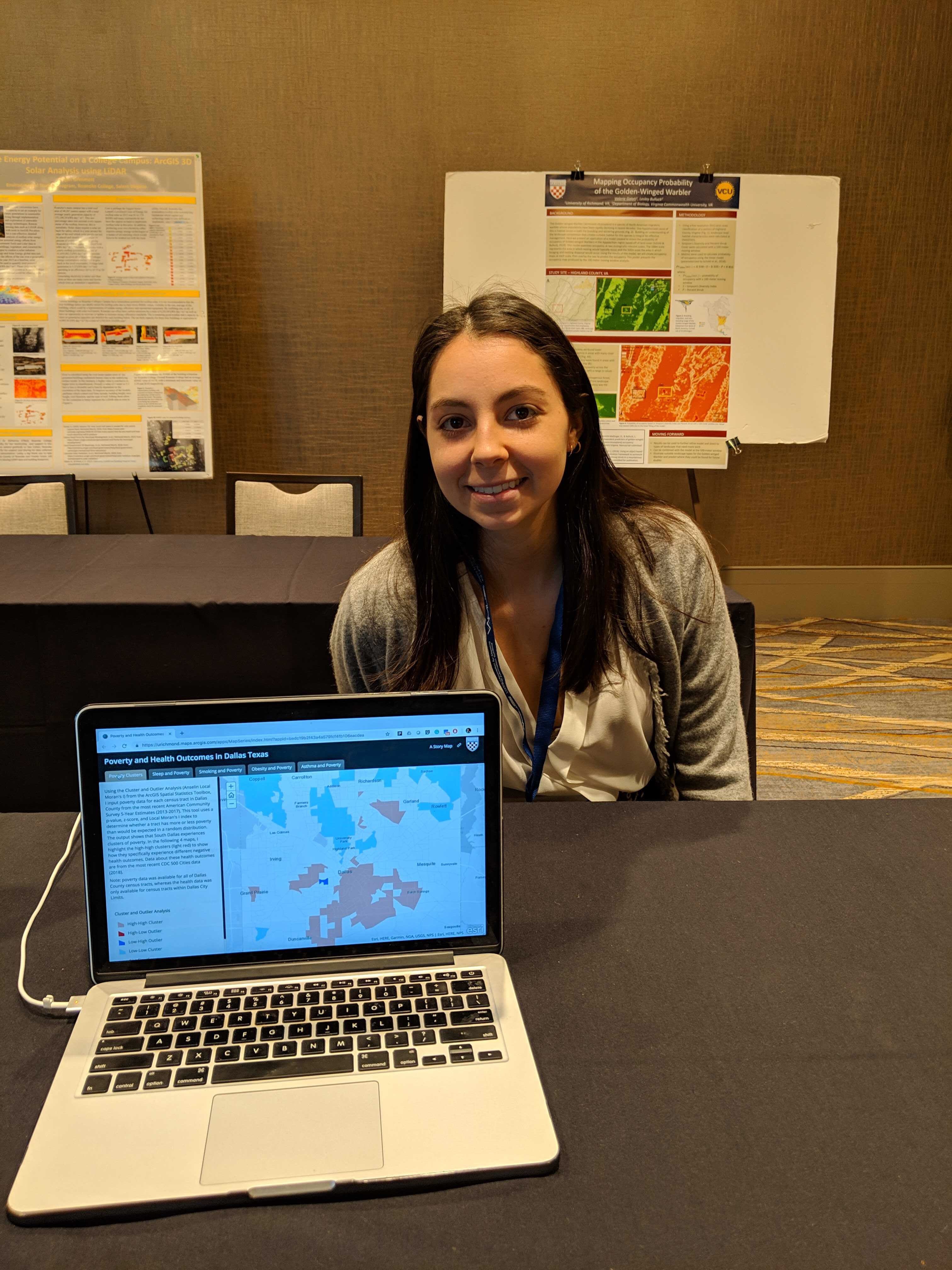
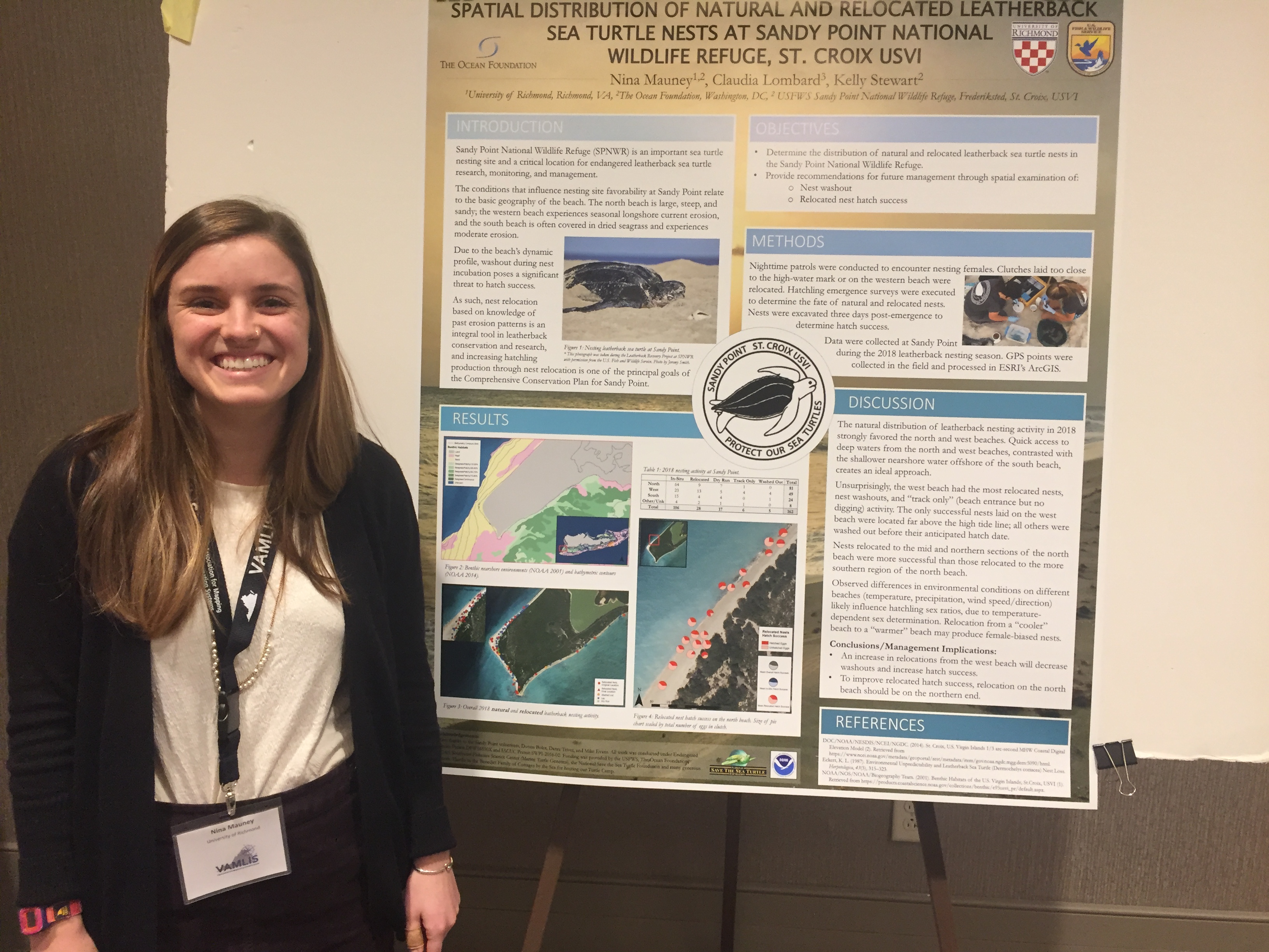
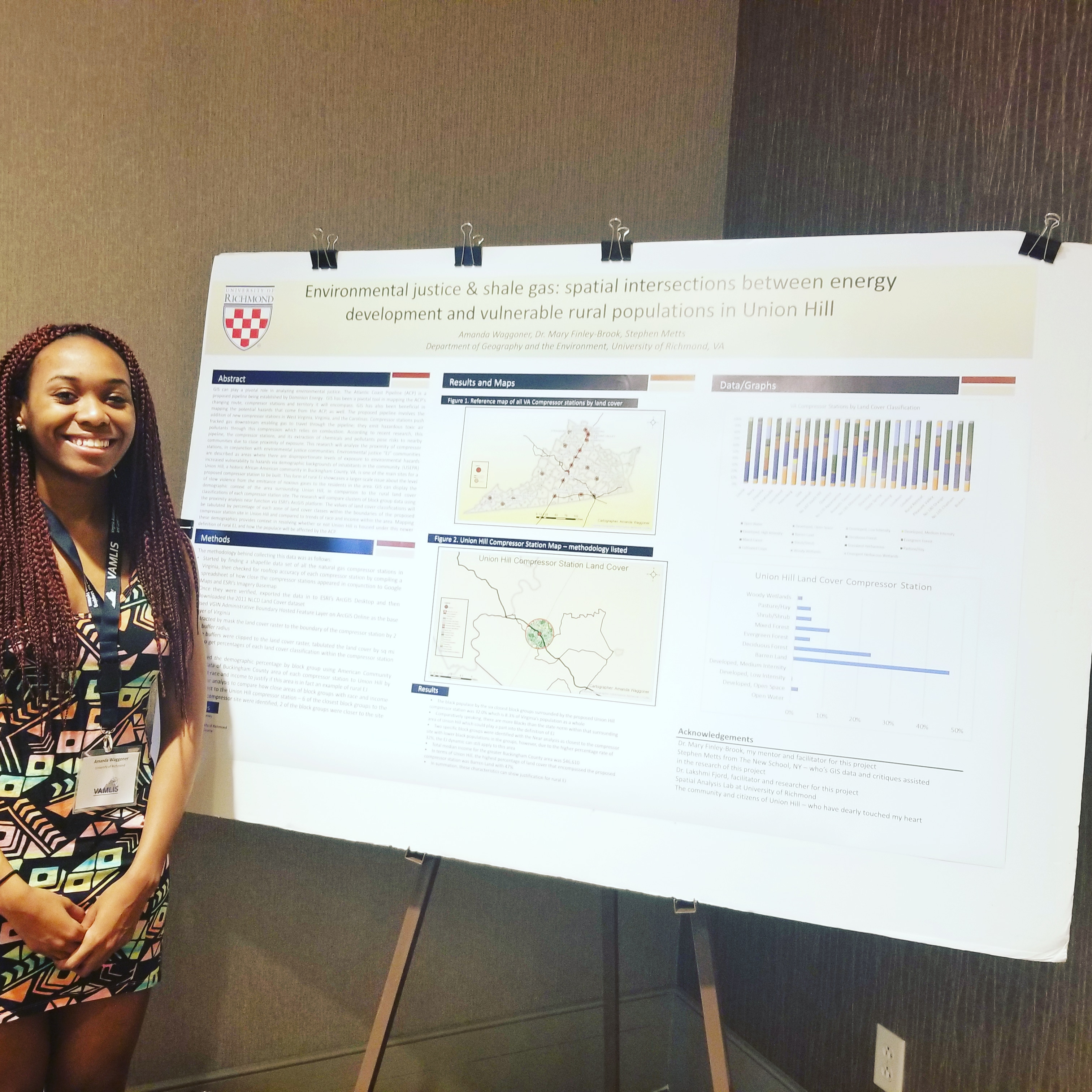
University of Richmond undergraduate students in the Department of Geography and the Environment, alongside SAL GIS Technicians and research assistants, created posters and web maps to communicate their research at the 2019 VAMLIS GeoConference. Students and SAL Interns Valerie Galati, Matthew Franklin, Griffin Walsh, and Emily Routman presented their research to GIS specialists throughout the state during the poster session, and several received awards for their work.

Valerie Galati, SAL Intern and Student (’19) — Mapping Occupancy Probability of the Golden-Winged Warbler.


Matthew Franklin (’19) and Griffin Walsh (’20), Students and SAL Interns —A Comprehensive Overview of Topography and Vegetation at Ivy Creek Natural AreaUndergraduate 2nd Place Winner!


Emily Routman, SAL Intern and Student (’20) — Poverty and Health Outcomes in Dallas TexasUndergraduate 3rd Place Winner!


Nina Mauney, GIS Technician and Research Assistant — Spatial Distribution of Natural and Relocated Leatherback Sea Turtle Nests at Sandy Point National Wildlife Refuge, St. Croix USVIProfessional 3rd Place Winner! 


Amanda Waggoner, GIS Technician — Environmental Justice & Shale Gas: Spatial Interactions between Energy  Development and Vulnerable Rural Populations in Union Hill. Graduate 2nd Place Winner! 


Congratulations to all GeoCon Poster Session participants! 

Kenyan Healthcare Adventure and 1st Day of Work

June 18, 2018

By Griffin Walsh ’20

A few weeks ago I was bit by a tick in Pennsylvania. After arriving in Kenya, I began to develop a rash on the exact spot where I had been bitten so I began to suspect Lyme disease. We decided I should go visit a doctor to confirm that I did not have the disease, which comes with a whole host of nasty side effects. I think its always essential to sample the local healthcare when travelling abroad. Dr Joireman and I decided to head to Nairobi Hospital to go meet with a doctor. After filling out the required paperwork we waited for about two hours to see a doctor. Finally, we were admitted and spoke to the doctor. Unfortunately, Lyme disease does not exist in East Africa so the doctor had never seen a case regarding the specific disease. He told us he had only read about it in textbooks. The doctor was very knowledgeable and friendly. He prescribed me some medication that worked both as an antibiotic and anti-malarial, which killed two birds with one stone. An interesting aspect about the visit was the doctor used his iphone as an examination light. After he had written the prescription we chatted for about ten minutes about our lives and how he had worked abroad in the United States. He lamented that he enjoyed the United States but the work environment was very sterile and impersonal. He much preferred the familial and personal relationship based system that exists in Kenya. We agreed that it was much better to have those personal connections, even if it meant waiting a bit longer in the waiting room. Another thing that surprised us about the hospital visit was how cheap it was compared to United States standards. The whole experience including prescribed medicine was less than thirty dollars, without insurance. This experience gave us an opportunity to see a part of the healthcare system in Kenya.

The team arrives in Kenya!

Yesterday we had our first day in the office at the National Land Commission. We received a very warm welcome when we arrived from the whole staff and spent some time getting to know our colleagues who we will be working with for the next month. They showed us our office spaces where we would be working. After these introductions we went to the conference room for a press conference. The various employees and commissioners at the National Land Commission introduced themselves to the media and to the people present. There were several reporters and TV cameras present at this meeting. Dr Joireman, Dr Boone, and Professor Browne all spoke about the project. The commissioner then gave a small speech and ceremoniously handed each collaborator on the project a set of the Kenyan constitution and a book on Kenya land policy. After this meeting we went to the Fairview Hotel for lunch and spent some more time getting to know our colleagues. We were also finally able to look at the Kenyan settlement schemes on the hard drive we were given. There are over a thousand files so it will take some time to go through them but we are excited to finally start working on the project using the maps. Our colleagues at the National Land Commission have been very gracious in providing us excellent spaces to work and we feel very welcome in Kenya.


Week 2 of Crash Course: Preparing for Kenya

June 11, 2018

By Meg Carroll ’20 

Jambo, it’s Meg!

We’re in the midst of prepping for our trip to Kenya! This week we’ve been holed up in the SAL glued to our desktops while we’ve practiced Swahili, read about African culture, and reviewed/practiced different GIS tools. Our week has included conversations about office etiquette and we have even researched alternatives to plastic bags due to Kenya’s ban on them. We’ve talked through some of the obstacles we might face and some of the cultural differences that we will come across. It’s been helpful to learn about some of the beliefs that are valued in African culture, such as status, respect, and relationships. Although many cultures have similar beliefs, it’s fascinating to see that cultures have different priorities. For example, in many African countries, relationships are much more important than some American values such as doing business as quickly as possible without a focus on the actual people doing business.

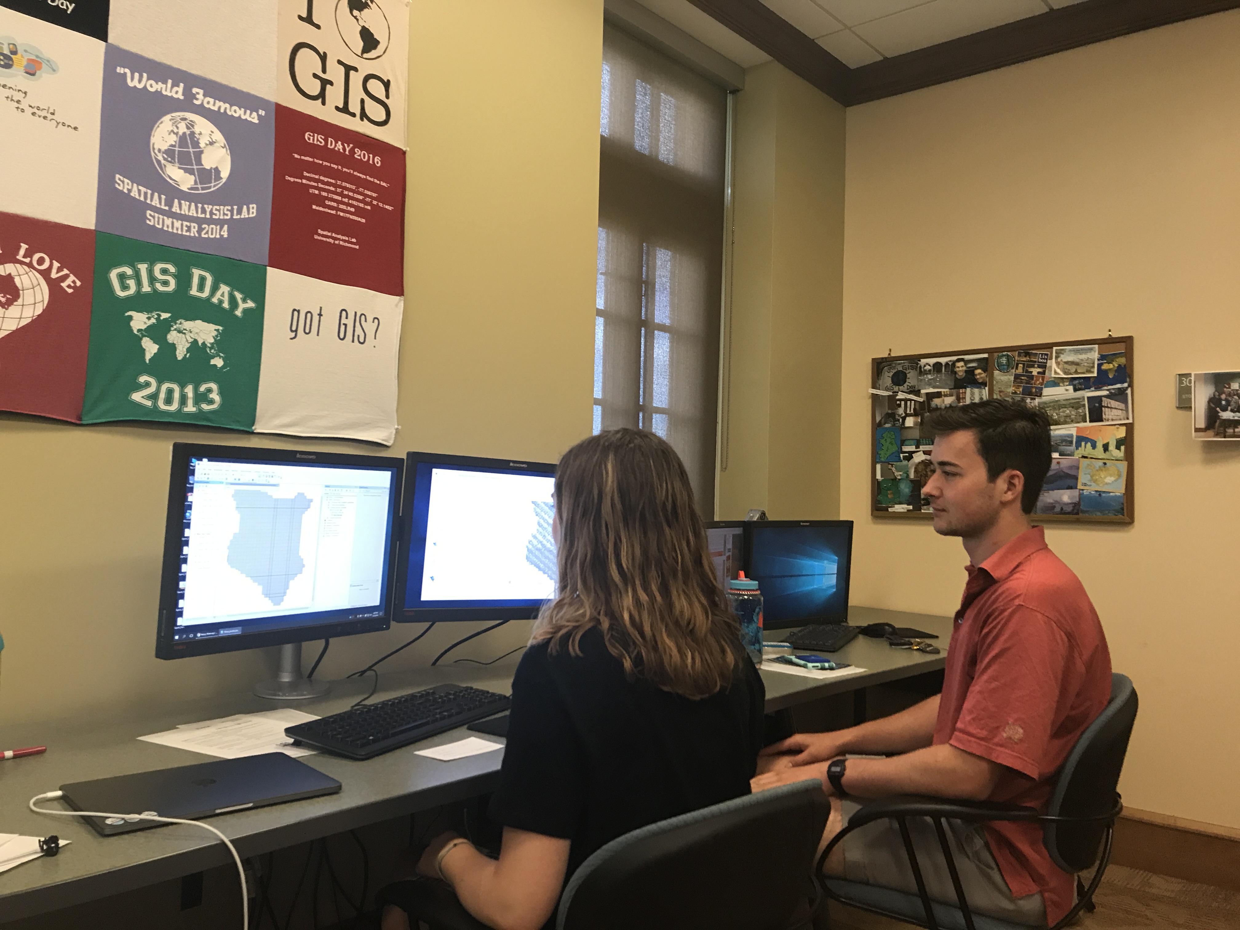
Meg and Griffin preparing workflows

The majority of our time has been spent focusing on the work we’ll be doing in Kenya. This has included writing up workflow drafts and gathering and preparing the data files that we’ll take with us. First we catalog the maps, then georeference, digitize, edgematch/combine polygons, add attributes, and then wrap up with metadata. That’s practically nothing, right?! And only for 1,340 maps give or take! Easy! Honestly, it’s all a bit daunting and we still feel a little uncertain about how a lot of this will happen. In short, we aren’t sure what to expect. Nonetheless, we’re very excited for this project and eager to meet our colleagues.

Everything requires an overwhelming level of organization and every step is very detail focused. We’ve run into some amusing obstacles along the way; I think keeping a good sense of humor is of the utmost importance! For example, while cataloging a settlement scheme map, it appeared to have the numbers “5810” on it. Later on, while georeferencing the map, we could not find where it was supposed to be placed. The 5810 made absolutely no sense because the grids aren’t organized into blocks that go up to 5810. Through trial and error we found out that the 8 was an ampersand! Kim pounded her fists on the floor. It was quite the day!

We’re excited to head to Kenya soon and I think that we will face many obstacles in the office, but as long as we keep a good sense of humor we’ll be all set. I’m pretty sure the saying “patience is a virtue” will be my mantra.

ArcGIS Online

https://urichmond.maps.arcgis.com/home/index.html

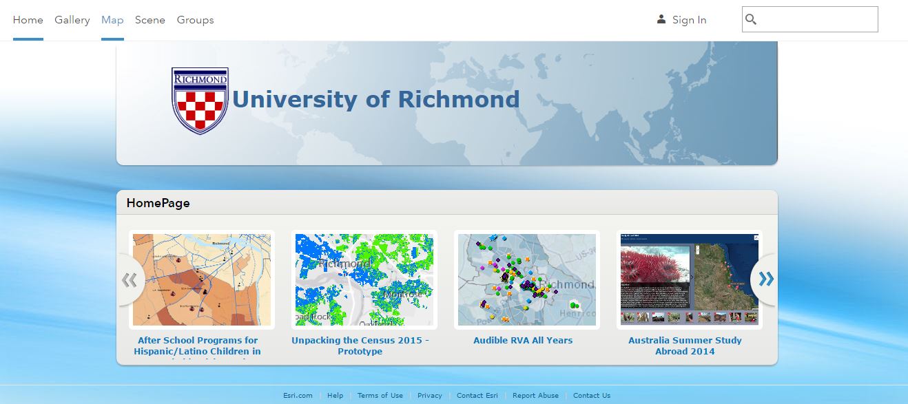
Want to check out many of the cool maps, applications, and story maps students, faculty, and staff have created with help from the Spatial Analysis Lab?

Click the image above or follow the link below to access the University of Richmond’s ArcGIS Online Organizational Account. https://urichmond.maps.arcgis.com/home/index.html


For help getting started using ArcGIS Online click here

How To: Download Open Street Map (OSM) Data

OpenStreetMap (OSM) is a collaborative map of the world where users can edit and update maps of their communities in real time. It was inspired by the success of Wikipedia and has quickly spread to become a force in online mapping world. While local governments in the US and other western countries are rapidly deploying “Open Data” platforms, there is still great unevenness in the quality, scale, and availability of worldwide data, especially data in previously colonized/developing countries. OSM provides a platform for citizens to contribute to the availability to data anywhere on the globe and often fills in gaps in data availability quicker than governments or nonprofits can. This is evidenced by OSM’s “mapathons” held after natural disasters, where individuals from universities, corporations, and non-profits collaborate to update road, building, and other key infrastructure data using satellite imagery so relief workers can utilize the best data in their response efforts.

When we have faced challenges in acquiring data for a particular area or region through traditional methods, we often turn to OSM for a solution. OSM will often have more updated and complete roads/infrastructure data than other sources. These data are especially useful for cartographic endeavors where finding layers quickly for context is essential.

However, OSM data is not as immediately available for download in ArcGIS friendly formats. Here I will show 2 methods of downloading OSM data for use in ArcMap.

Download Directly from OSM

The first method is to download directly from the OpenStreetMap website using their exporter. Simply go to www.openstreetmap.org and find the area you would like to download data for. Hit the “Export” button and you will see a screen with the Extent of the download appear. You can customize this download as either the “current extent” or manually select an area by bounding box. Then hit “Export” and download the file as a .osm file. Now you need to convert this .osm file to a .shp file. You can use mygeodata.cloud for free conversions (up to a certain file size) or look up another converter on the web. The output will be separate shapefiles for points, lines, and polygons. I recommend using the original OSM map to identify the feature categories you want to pull out.

Download using QGIS

QGIS is an open source GIS platform. It is known as one of the best open source GIS options for those who do not have access to (or don’t want to pay for) ESRI software like ArcMap. QGIS has built in functionality to download data directly from OSM and convert it into shapefile format. You can follow these directions: http://learnosm.org/en/osm-data/osm-in-qgis/.

Fall 2018 Walk In Hours

After an exciting summer on the river and in the lab with our high school MSI students, it is time for the school year to start yet again!

This year we will be clustering project work days and walk in hours to increase productivity and foster collaboration among various users of geospatial technology across campus. Our student interns will be available for consultation as well as the SAL Director and the GIS Technician.

Walk in Hours:

Monday: 1-4

Tuesday: 1-4

Friday: 10-2

If you have a GIS project/problem/inquiry stop by and see what we can do to help. Or fill out this form so we know you’re coming!

https://tinyurl.com/URSpatialRequest


East End Cemetery – Mapping Forgotten Gravestones

By Ethan Burroughs ’18

East End Cemetery is part of the "Cemeteries at Evergreen" in the East End of Richmond City.

East End Cemetery is part of the “Cemeteries at Evergreen” in the East End of Richmond City.

East End Cemetery is located on the border of Henrico and Richmond, Virginia. It was established in 1897, and an estimated 13,000 people are believed to be buried in East End. The neighboring Evergreen Cemetery often overshadows its presence, which is another African-American cemetery that has fallen into disrepair in Richmond. Some notable figures who are buried in East End include: Rosa D. Bowser, who was the first black teacher hired in Richmond; Hezekiah F. Jonathan, a business owner with the Richmond Planet editor, John Mitchell Jr. (who is buried at Evergreen Cemetery); Dr. Richmond F. Tancil, a Howard University educated doctor and bank founder in Richmond’s Church Hill neighborhood; William Custalo, the proprietor of Custalo House, a noted bar and restaurant in Richmond. The cemetery changed ownership a number of times, and is currently owned by the UK Corporation, which lacks the time and the money necessary to provide upkeep to the cemetery; therefore it is up to the families to maintain the gravesites. Unfortunately, this change of ownership has led to much disarray in the process of familial upkeep of gravesites. However, since 2013, John Shuck and groups of volunteers have been working tirelessly to restore East End back to its former state by removing ivy, cleaning up illegal trash dumps, and most importantly, rediscovering and documenting headstones that have been damaged or knocked over. By documenting these headstones, it allowed for this project to become a possibility, since without those records provided by John Shuck and the volunteers, this project of creating a searchable map of burial locations would not be feasible.

4

The Biology Department at the University of Richmond is working with Friends of East End Cemetery and other volunteers to clean up the cemetery and record data on those buried there. Volunteers have collected GPS coordinates (using a GPS and the Collector for ArcGIS app) of the headstones at the cemetery, as well as collected personal attribute data from the gravestone inscriptions. Local volunteers working on the site submitted the data to Find A Grave, a website that helps people find their family members. Unfortunately, this site does not have options for viewing gravestones spatially, so volunteers also kept a separate spreadsheet in excel with the GPS coordinates hoping to make a searchable map one day. Once the Biology Department got involved, they approached members of the Geography Department to create a database with spatial elements in order for them to store their data about the cemetery in a cleaner, more systematic way. This is a collaboration project between the Geography and Biology Departments and the Bonner Center for Civic Engagement (CCE) to assist in the regeneration of the East End Cemetery. The data collection and review process has been essential to building a database that will feed an interactive and searchable map in the future. Like East End Cemetery, many African-American cemeteries have been forgotten and lost in undergrowth, but this project for East End Cemetery is part of a larger movement in order to reintegrate African-American cemeteries into our history, and to stop such loss from reoccurring.

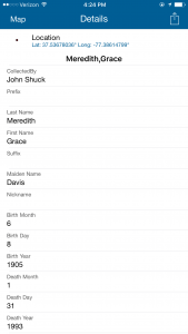
The ArcGIS Collector application for mobile devices has and will be crucial for the continuation of this project. The Collector app can be downloaded onto a person’s phone, and can be used as a guiding device in order to lead someone who is looking for a grave to a marked location on a map where the grave should be. This allows those who are visiting East End Cemetery to search through the data that has been collected on their mobile device, thereby allowing one to search for a specific person’s gravesite and be led to the headstone by the spatial software that the device operates on. Using the Collector app would not only allow someone who is looking for a gravestone to lead themselves to the location of the grave, but it would also allow people like John Shuck and other volunteers to enter newly found grave positions while they’re working in the field, rather than having to mark their locations down on paper and then transferring the data over at a later time.


In the coming year, scholars and volunteers from University of Richmond, Virginia Commonwealth University, and the surrounding Richmond community are working to expand the scope of the project and ensure this historic site is accessible to all and contributes to the history of Richmond and our region.

1 2 3

Examples of the Collector for ArcGIS Interface

***Photos of East End volunteer group courtesy of Brian Palmer.

American Association of Geographers (AAG) 2017 Annual Meeting

The American Association of Geographers (AAG) Annual Meeting is a chance once per year for our department’s students, faculty, and staff to present their research to peers and learn about what other universities all across the world are doing with geography. For many of our students, it is an eye opening experience to see the many different sub fields of geography all in one place. As one student remarked “wow, so being a geographer means you just get to study anything, because it’s all spatial!” That is the sort of feedback that makes these conferences worthwhile!

This year’s conference was hosted in Boston (last year was San Francisco, next year is New Orleans). From the University of Richmond we had 3 students, 2 faculty, and 1 staff member in attendance this year. I took the liberty of asking our students and faculty about their trip to AAG. Check out their work and answers below!
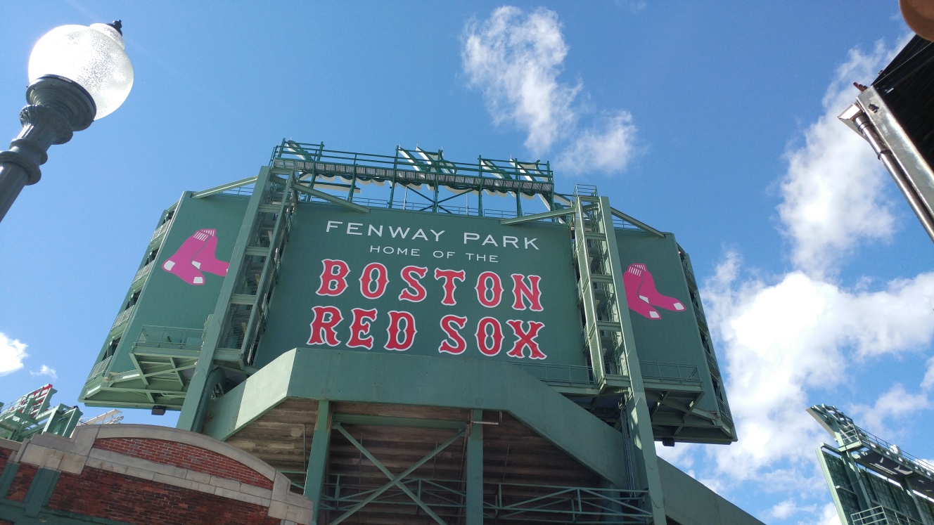
Fenway Park - Taken by Mary Finley-Brook

Fenway Park – Taken by Mary Finley-Brook

Left to Right: Jacob Salamy, Ethan Boroughs, Evelyn Jeong, and Taylor Holden

Left to Right: Jacob Salamy, Ethan Boroughs, Evelyn Jeong, and Taylor Holden

Ethan Boroughs

Q: What did you present? 

A: At AAG I presented the project that I’ve been working on for the majority of the year, which has been building a spatial database for the gravestones that have been and are continuously being discovered in the East End Cemetery (a historically African American cemetery) in Richmond, VA.

Here’s my abstract:

The East End Cemetery in Richmond, Virginia is a historically African-American cemetery that has fallen into a state of neglect. The Biology Department at the University of Richmond is working with local volunteers to clean up the cemetery and record data on those buried there. Volunteers have collected GPS coordinates (using a GPS and the Collector for ArcGIS app) of the headstones at the cemetery, as well as collected personal attribute data from the gravestone inscriptions. Local volunteers working on the site submitted the data to Find A Grave, a website that helps people find their family members. Unfortunately, this site does not have options for spatial data, so volunteers also kept a separate spreadsheet in excel with the GPS coordinates. Once the Biology Department got involved, they approached members of the Geography Department to create a database with spatial elements in order for them to store their data about the cemetery in a cleaner, more systematic way. This project is a collaboration between the Geography and Biology Departments and CCE of Richmond to assist in the regeneration of the East End Cemetery. The data collection and review process has been essential to building a database that will feed an interactive and searchable map in the future. Like East End Cemetery, many African-American cemeteries have been forgotten and lost in undergrowth, but this project for East End Cemetery is part of a larger movement in order to reintegrate African-American cemeteries into our history, and to stop such loss from reoccurring.
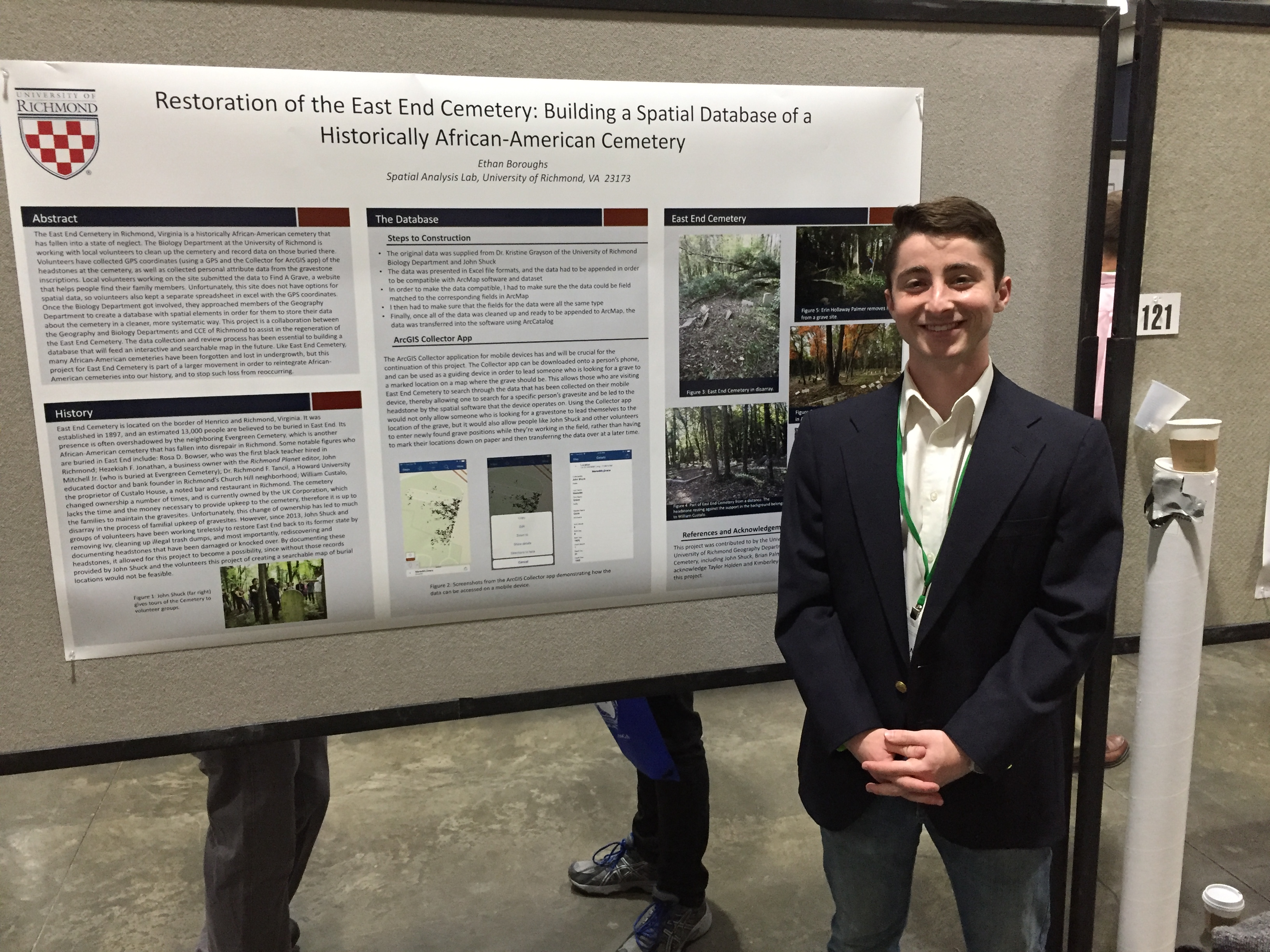
Ethan Boroughs with his poster

Ethan Boroughs with his poster

Q: What was the best thing you saw at AAG?

The most remarkable poster I saw at the conference was a poster that represented a project where a student used LIDAR data and an algorithm that was trained in order to recognize bumps underneath the surface of topsoil in order to locate unexploded bombs that were dropped in Europe during WWII.

Q: What was the best part of your trip to Boston outside the conference?

My favorite thing I did outside of the conference was touring around the city of Boston with no agenda, just kind of walking around the city, going in shops, seeing famous local landmarks, and eating at good restaurants.
ethan food

Jacob Salamy and Evelyn Jeong

Q: What did you present? 

A: Our poster was called “Demographics Dynamics in Post-Annexation Richmond”. It focused on the work we and the Intro to GIS classed did around Dr. John Moeser’s book: The Politics of Annexation.

Here’s our abstract:

Published in 1983, Dr. John Moeser’s historical account Politics of Annexation: Oligarchic Power in a Southern City remains the most thorough and detailed resource for understanding the historical significance of Richmond’s annexation of approximately twenty square miles of Chesterfield County in 1970. With motivations rooted in racial dynamics generated by both the mass exodus of Richmond’s white population and the migration of African-Americans to America’s urban areas, the annexation was a power move by Richmond’s power elite to maintain the political status quo by incorporating an additional 44,000 white residents of Chesterfield into Richmond’s city limits. This had the effect of diluting Richmond’s black population’s vote enough to ensure a white majority for Richmond’s 1970 councilmanic elections. The annexation was hotly contested all the way up to the Supreme Court, which ultimately ruled that it was racially motivated. However, the annexation stood after Richmond reached a compromise whereby the city would hold local elections using a ward system designed to counterbalance the massive influx of white residents brought about by the annexation. Using census data for the years 1950-2010, we analyze the immediate impact that this annexation had on Richmond’s demographics overall as well as its long-term effects on Richmond’s individual neighborhoods. To complete this statistical analysis, we use dasymetric interpolation to generate equivalent land areas for comparison. Broadly, we hope this research will provide a clear and compelling portrait of Richmond past and present.
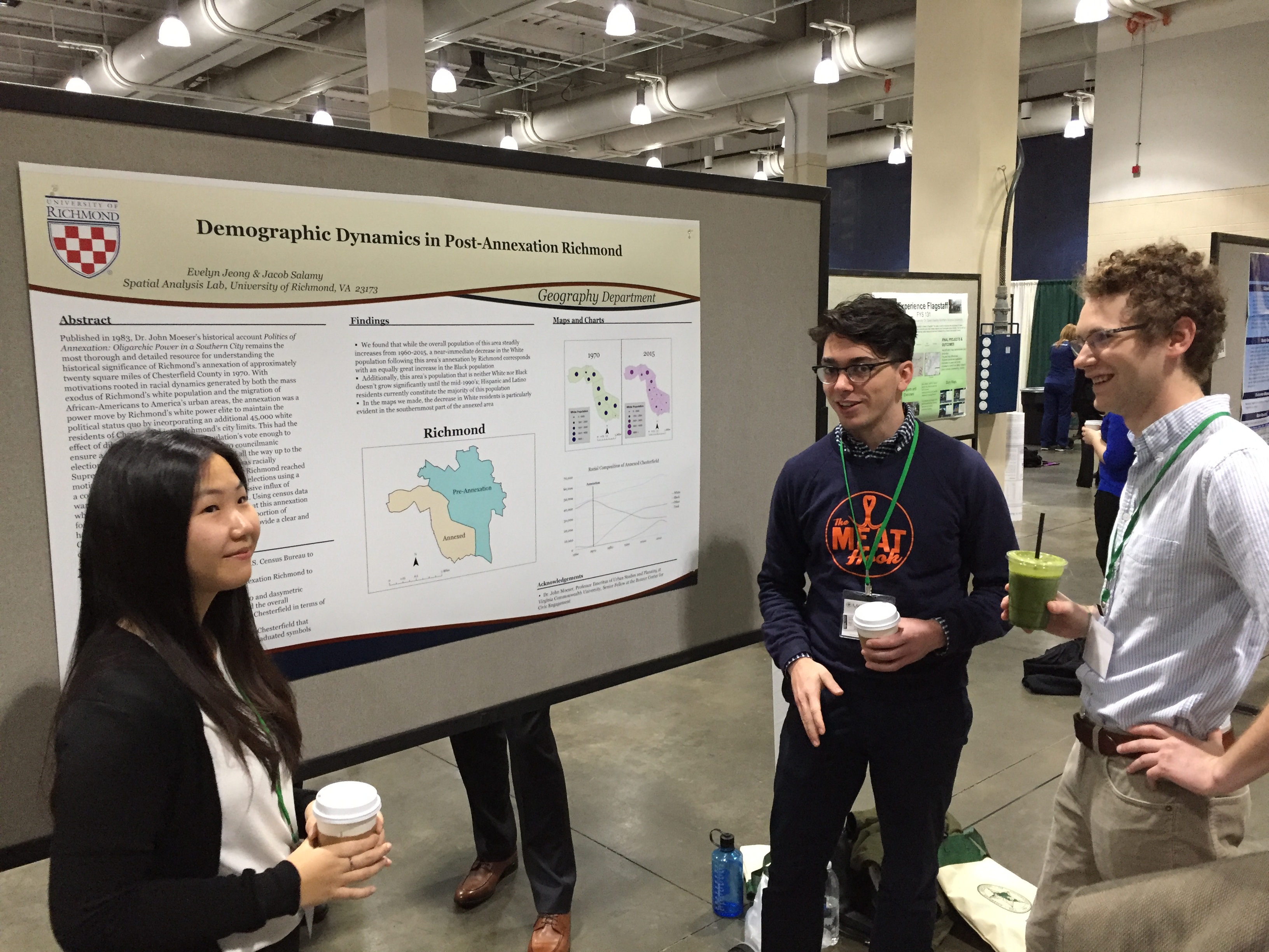
Jacob and Evelyn describe their poster to a captivated audience member

Jacob and Evelyn describe their poster to a captivated audience member

Q: What was the best thing you saw at AAG?

A: (Jacob) The best poster I saw was on estimating the population characteristics of non-reporting individuals from Japan’s census.

A: (Evelyn) I also really liked the poster that talked about the non-reported population in Japanese Census Data. There was a huge discrepancy between the number of non-reported for age, which was only approximately 0.9%, and education level, which was up to 20%. The poster mentioned the possible reasons why people would report age but education, as well as how to solve the marginal error when presenting statistics. I thought about the non-reported on the U.S. Census Bureau and how to solve the problem of the marginal errors in the statistical analysis.

Q: What was the best part of your trip to Boston outside the conference?

A: (Jacob) Ethan and I accidentally snuck into an admitted students day at Harvard’s graduate school of design and got to tour the whole school!

A: (Evelyn) I visited the Freedom Trail and the Gas Chambers that informed about Holocaust and the experience people had. The Gas Chamber had anecdotes of survivors and journals that reminded me of the history. It reminded me of the phrase “history repeats itself”, given the domestic and international political situations all over the world. I also loved the Boston Public Library Map Center.
IMG_0497 IMG_0495IMG_0501 IMG_0499


Taylor Holden

Q: What did you present? 

A: I presented in an illustrated paper session on the topic of “Demographics of Annexation: Using History and Politics to Teach GIS”. It focuses on how we used Dr. John Moeser’s book about the history of annexation in Richmond as well as his current research in our GIS courses this semester.

Here’s my abstract:

The City of Richmond, Virginia has a long and complex legacy of racial and economic segregation, one that persists to this day. Scholars from various disciplines have studied Richmond’s political, structural, and demographic history to tell the story of the former Capital of the Confederacy. Geographic Information Systems (GIS) can be used to provide both context and a platform for exploring Richmond’s history. Students in several GIS courses at the University of Richmond used Census and American Communities Survey data from 1950-2010 to explore the 1970 annexation of Chesterfield County by the City of Richmond. Students in introductory courses learned analysis methods including areal interpolation and dasymetric mapping to solve the Modifiable Area Unit Problem (MAUP). They also explored cartographic principles like the use of color, classification, and scale by examining the annexation and subsequent changes to the spatial distribution of race within the city. Students in advanced courses then built on these lessons through geostatsitics and advanced visualization techniques. Throughout this process students used ArcGIS Online and Carto to share their research with the public and bring Dr. John Moeser’s 1982 book, The Politics of Annexation: Oligarchic Power in a Southern City, to a modern audience accustom to digital information and the exploration of data.

Q: What was the best thing you saw at AAG?

A: My favorite part was getting to see Noam Chomsky talk as one of the main speakers. He was interviewed by the head of AAG. The interview itself was a bit lacking in terms of good questions, but getting to see Dr. Chomsky start rolling on a topic and really dig into the history, language, power dynamics, perceptions, and every aspect of something was fascinating. Although I’ve read his writing before, getting to see him speak made me really understand why AAG had no problem introducing him as “the most important intellectual of our times”.

I love that AAG gives an award to a non-geographer each year and has them speak at the conference. It illustrates how geography touches all disciplines in some way.
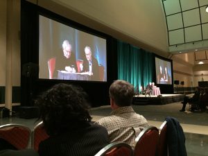
IMG_1737

Q: What was the best part of your trip to Boston outside of the conference?

A: My boyfriend, Josh, tagged along on this trip to check out Boston and the surrounding areas. We went with a friend to Salem one day and did the witch tour and saw all the kitschy museums and shops. I highly recommend it to anyone in the Boston area. We also had lots of incredible meals in Cambridge and Somerville (shout out to Sarma, the best mediteranean/Middle Eastern food I’ve ever had).


Professor David Salisbury

Q: What did you present? 

A: I presented my paper: The Religion of Road Building: A Case Study of the Alto Purus Region of Peru. The co-author was UR/ San Francisco de Quito exchange student Melissa Velasco.

Here’s our abstract:

Road building in the Amazon continues to develop at a rapid rate despite a growing understanding of the socio-environmental impacts resulting from transportation infrastructure expansion in tropical rainforests. In August of 2016 congressional representatives in Lima again proposed a bill to create a road connecting the remote Amazonian Purús region with Peru’s Interoceanic Highway.  The 270 km proposed road would cross a national park, a communal reserve, an Indigenous territory, forestry concessions, and a reserve for Indigenous peoples in voluntary isolation and initial contact.  Currently, the only way to travel to the Purús from Peru is by air given the 4,000 inhabitants of the town of Puerto Esperanza and 22 neighboring titled Indigenous Territories are surrounded by Peru’s largest protected area.  Pro-road and anti-road Purús residents frequently clash over the benefits and drawbacks of the proposed road with each side backed by interested parties such as loggers and environmentalists.  This research combines GIS analysis of the proposed road’s path and potential impacts, survey research of resident attitudes towards the road, and textual analysis of publications and recordings referring to the road.  Results indicate how the argument over the road has become combined not only with discussions about livelihood and land use choices, but also spiritual salvation, ecological imperialism, and the exploitation of Indigenous peoples.

Q: What was the best thing you saw at AAG?

A: The best paper I saw was The necessity of optimism about climate change mitigation and adaptation in the tri-national MAP Region of southwestern Amazonia presented by Dr. Foster Brown from the Woods Hole Research Center and the Federal University of Acre. Dr. Foster Brown talked about strategies for slaying the psychological dragons of inaction that prevent humans from taking action to address climate change. I’ve already incorporated parts of this talk into two International Studies classes.

Q: What was the best part of your trip to Boston outside of the conference?

A: Staying with and spending time with four aunts and uncles. Sharing a session with my 65 year young uncle Dr. Foster Brown as three of his siblings sat in the audience.
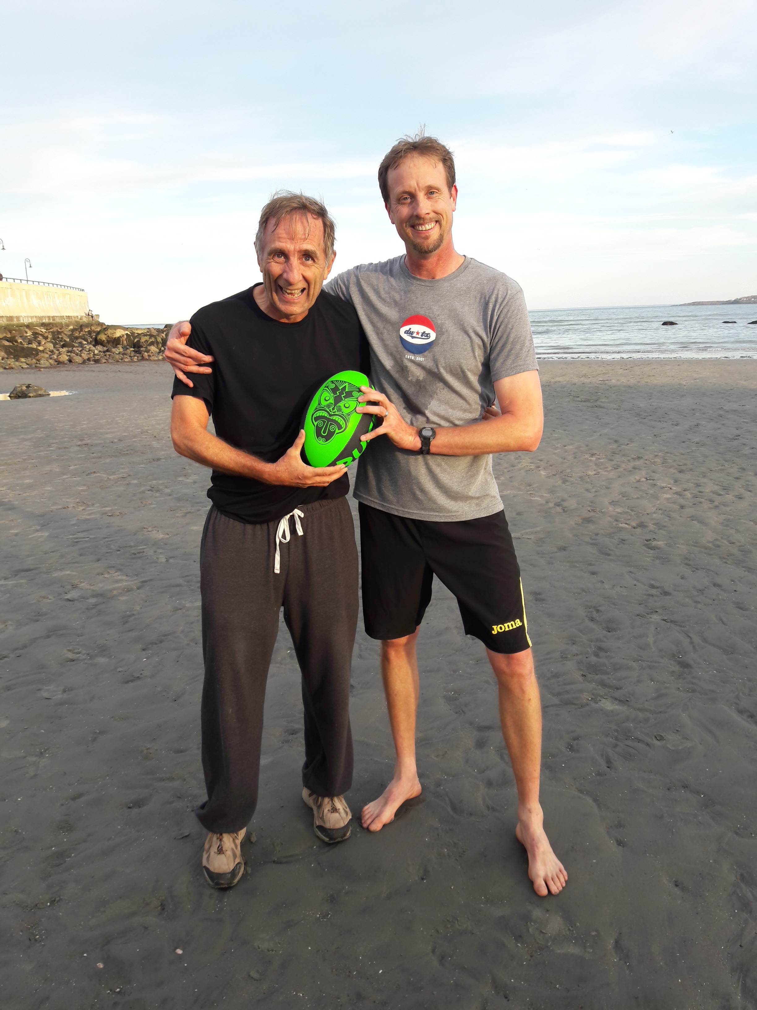
 

Dr. David Salisbury with Dr. Foster Brown, his uncle

Dr. David Salisbury with Dr. Foster Brown, his uncle

Professor Mary Finley-Brook

Q: What did you present? 

A: I presented my paper: Racial Violence and Deadly Energy in the Americas. 

Here is the abstract:

New energy infrastructure and energy transitions commonly lead to contested socioecological spaces and futures. Violent oppression flourishes in Latin America’s expanding fossil fuel and renewable energy systems with deadly force sometimes used to facilitate energy development. Homicide often follows social opposition and is utilized as a cruel tool to eliminate or intimidate land defenders, environmental protestors, and marginalized populations, particularly Afro-descendant and Indigenous Peoples. While direct physical violence towards energy project opponents and populations impacted by energy infrastructure is usually more subdued in the United States and Canada, structural violence built upon racism and economic inequality is frequently apparent in socioecologically harmful energy initiatives across the Western hemisphere, whether in the creation of new projects or in the maintenance of detrimental facilities. This paper provides comparative analysis of petroleum, coal, natural gas, hydropower, and biofuel case studies in North, Central, and South America to (1) identify energy’s pivotal role in social relations and spatial interactions in both industrialized and peripheral economies; (2) expose patterns and processes of energy-related violence; (3) advance understanding of how low-carbon rhetoric is used to justify socially and racially oppressive energy infrastructure; and (4) demonstrate how the term ‘deadly energy’ corresponds to more than situations of homicide as risks with potentially fatal consequences (e.g., explosions, accidents and spills, public health consequences from waste dumping and toxic pollution, land grabbing, competition with subsistence livelihoods, etc.) are experienced in marginalized spaces and by people of color.


Q: What was the best part of your trip to Boston outside of the conference?
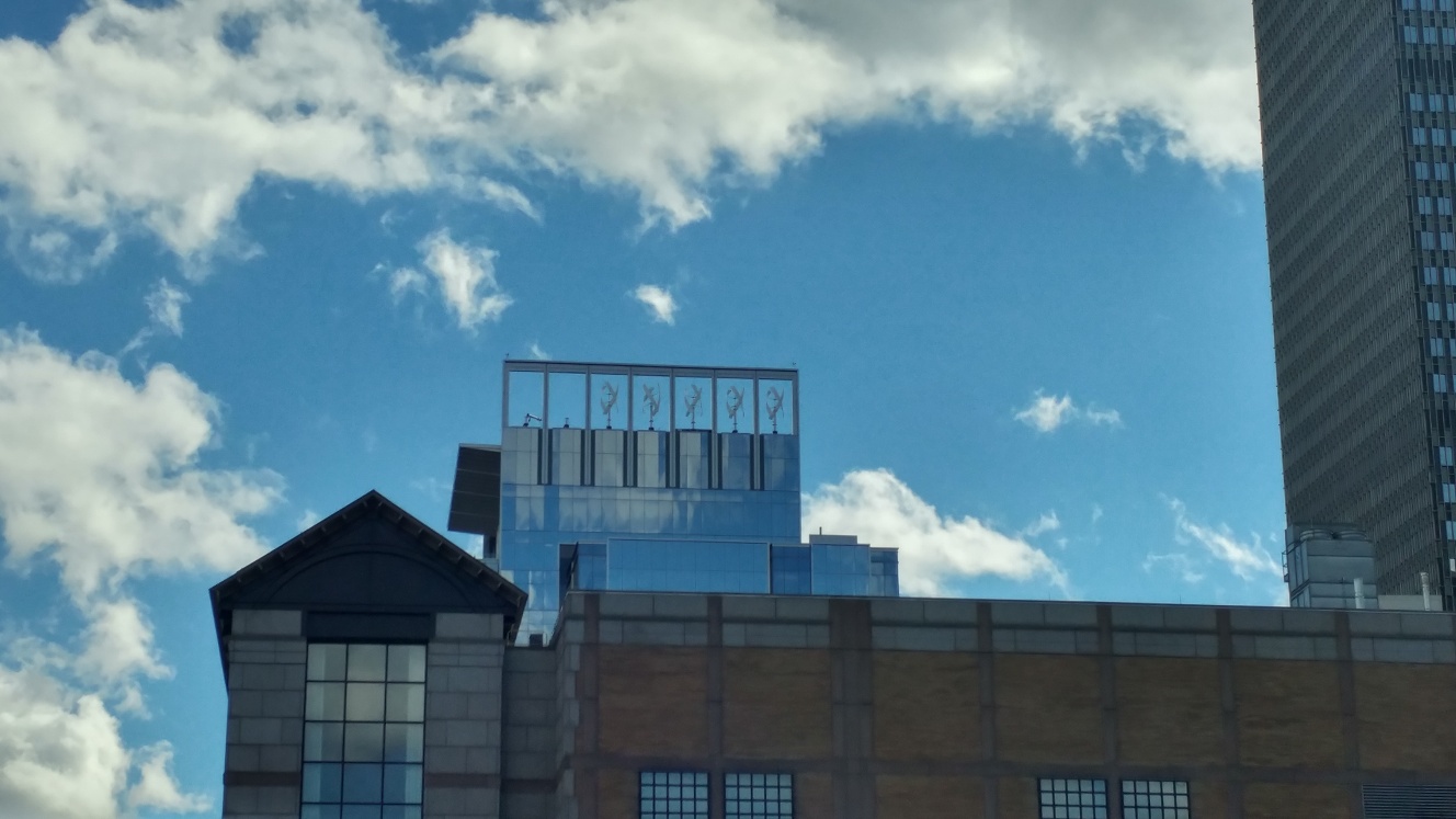
Mary Windmills

Wind Turbines