Post by Shaquille Christmas ’15
This post was from February 2016
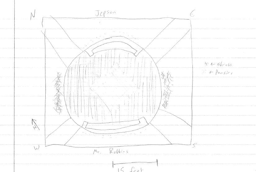
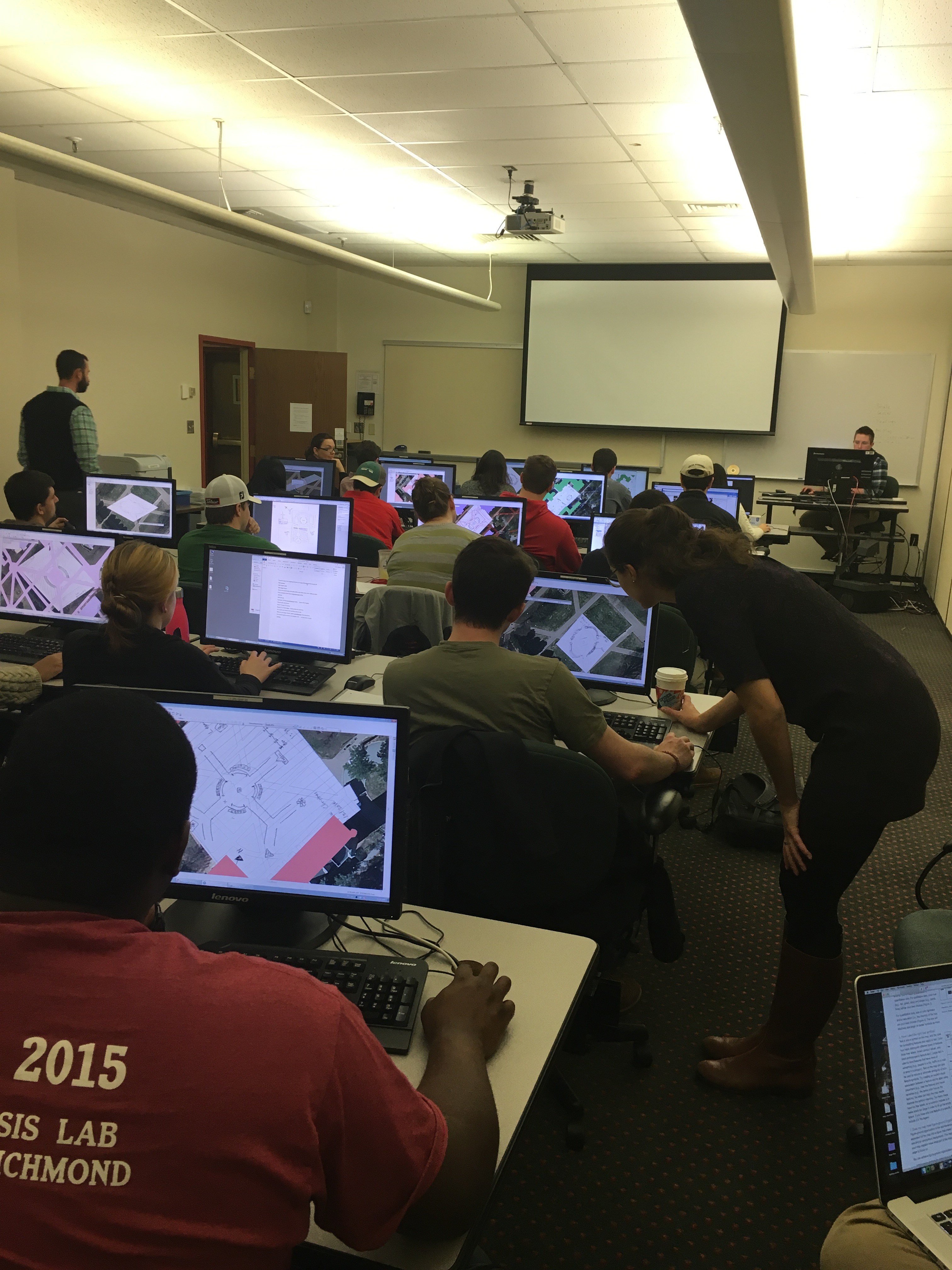
This week students in the GEOG 280 course “Maps and Geovisualization” got a taste of how challenging it was for early Cartographers to survey an area, and draw what they saw—with a high level of accuracy. Students went into the Jepson quad and created a sketch of what they saw and tried to match their drawing to a true scale.
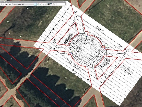
Next, their drawings were scanned and imported into ArcGIS; a tool I am sure early Cartographers would be proud of.
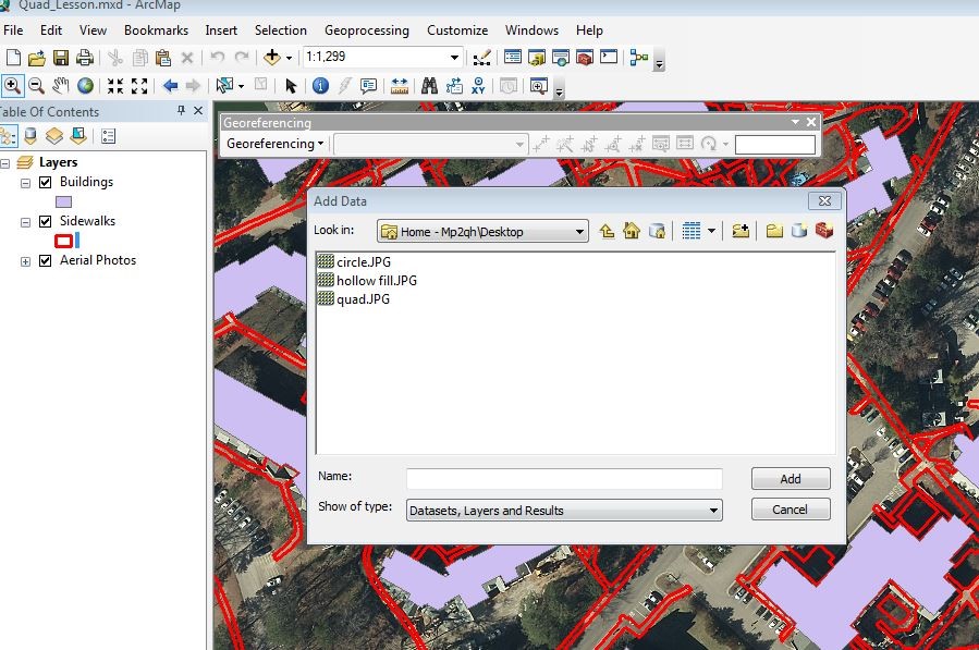
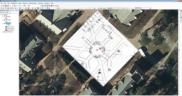
Using the georeferencing tool, students then tried to match the different points on their map to the actual lay of the land as closely as possible. Many students had done such a good job that their hand drawn maps were georeferenced within a few feet to the actual distance on the ground which was an amazing site to see. Overall, it was a fun and eye opening exercise in which students gained a greater appreciation for the work of early Cartographers.
Note from Taylor:
From a teaching perspective, I found this lesson to be highly effective not only at teaching students how to georeference maps, but also how to understand scale. They each had the opportunity to create their own scale for their hand drawn map. Each student could take their own approach to developing their scale, either by walking out the paces, estimating with their eyes, laying down on the ground to use their height, or even bringing a tape measure (which we didn’t allow them to use, just to make it a little more challenging). However, they realized that with a tape measure they could have gotten even more accurate with their scales, although they didn’t need it as Shaquille mentioned! This was a fun lab to do with students who haven’t taken GIS or other geography courses before, and we will likely incorporate it into future georeferencing and scale lessons.