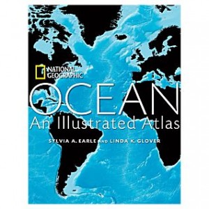
This atlas includes hundreds of extremely interesting maps. It is published by National Geographic, so many of the maps contain a lot of information. The maps are in all different styles with different projections and coloring. National Geographic does a great job at portraying a lot of complicated information, such as the temperature of the oceans and the currents, in a user friendly format. Many of the maps are choropleths and the colors add a lot of meaning. My favorite part about the atlas is that along with the maps, there are many beautiful photos of the wildlife and scenery in the area.
-
Recent Posts
- Map Duo Presentation – William Guy and Michael Zhang
- Map of the Week: Unraveling the Borders of Israel and Palestine Through Time
- Map Duo Presentation – Carter House and Ryan Soulis
- Map Duo presentation by Peter and Yaozhuo
- Yaozhuo Sun — Map of the Week: City Maps That Orient You Better Than Google Can
Recent Comments
- Luke Hedlund on Map of the Week: Voici les Bases Américaines dans le Monde: Que est l’agresseur? Qui Menace?
- Luke Hedlund on Map of the Week: Unraveling the Borders of Israel and Palestine Through Time
- Owen Goss on Mexico’s Crippling Water Crisis
- Owen Goss on Map of the Week: German and Polish Borders Across Time
- Lucy Duggan on Map of the Week: A Serio-Comic Map of Europe
Archives
- December 2023
- November 2023
- October 2023
- September 2023
- May 2022
- April 2022
- March 2022
- February 2022
- November 2021
- October 2021
- September 2021
- May 2021
- April 2021
- March 2021
- February 2021
- May 2018
- April 2018
- March 2018
- February 2018
- December 2017
- November 2017
- October 2017
- September 2017
- May 2017
- April 2017
- March 2017
- February 2017
- December 2014
- November 2014
- October 2014
- April 2014
- March 2014
- February 2014
- December 2013
- November 2013
- October 2013
- September 2013
Categories
Meta

