Portland 1
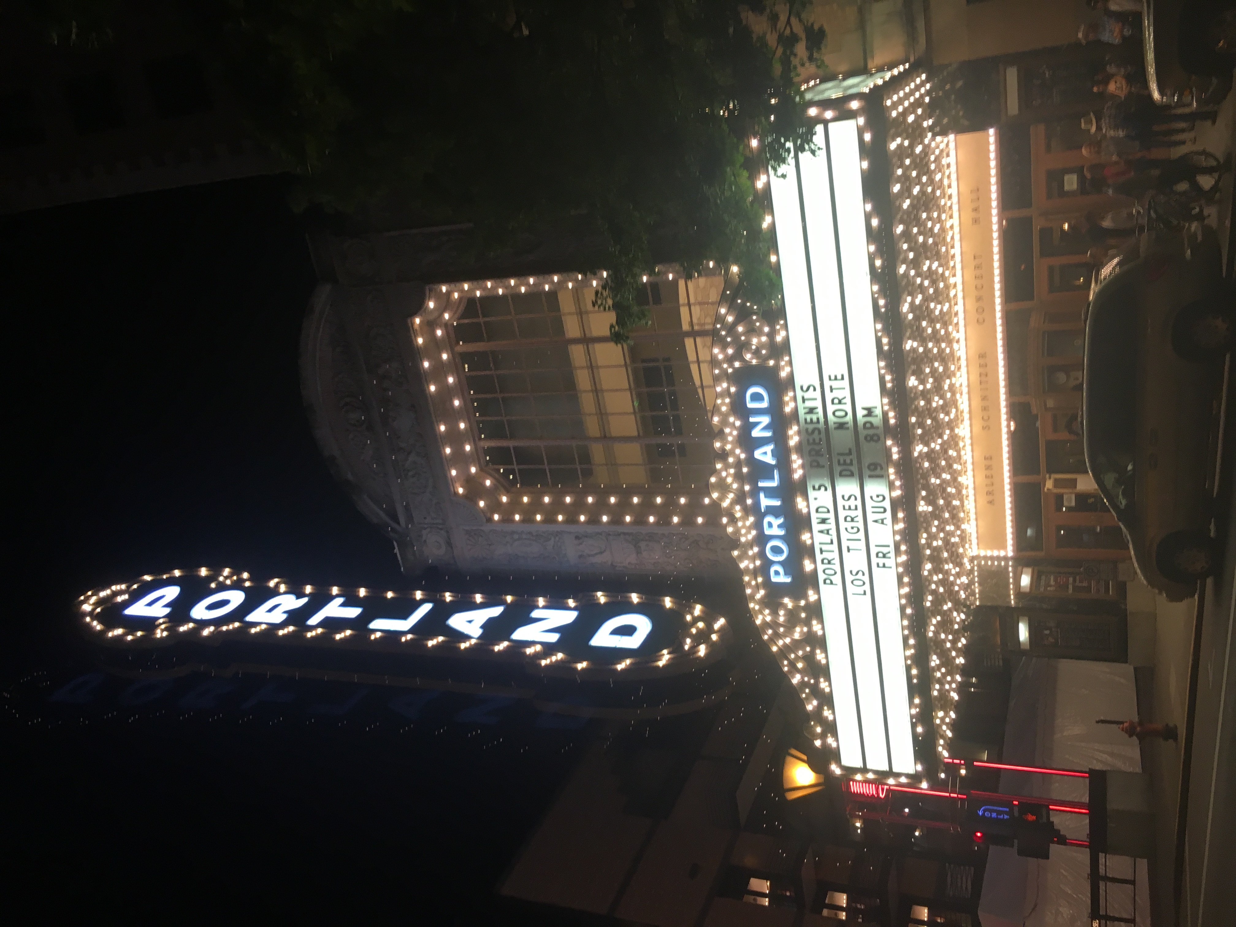
A classic symbol of Portland
Both books emphasize the study of place. Define the geographic concept of “place”. Illustrate the concept by describing the place where you are this summer.
A place can be defined by countless characteristics including mountains, rivers, buildings, and transportation systems. I am spending my summer in Glen Allen, Virginia which can be described as a suburban area not far from the James River and Short Pump Town Center. I live on the outer edge of Glen Allen which has many farms nearby, but I am also a five-minute drive from Staples Mill Road and the Crossridge shops, so there is an essence of both country and suburban living.
Before reading this book, think about your preconceived idea of the City of Portland. From this introductory material, describe two things that matched your preconceived notion of Portland. Describe two things that you had not previously associated with Portland.
Before reading both of these books, I knew about Portland’s food culture since Richmond is extremely similar. I also was familiar with the unique hipster style of Portlanders, especially their love of organic food. However, I did not realize the extent of the environmentalist views in the city and the book clearly shows that there are many people who advocate and vote for environment-related issues. Additionally, I learned that there are countless outdoor activities in the area. I knew that there were similar activities to do, but I was unaware of the large number of them.
Why did the authors choose to introduce Portland as a Cascadian City? What does it mean to be a Cascadian City?
The authors describe Portland as a Cascadian City because the meaning of Cascadian can be interpreted in many ways. The purpose of the book is to provide various maps that each portray a different aspect of the city. In the introduction, there are multiple maps that each explain Cascadia in a different light. Some focus on the geography while others emphasize trading. Since Cascadia can be defined by different characteristics, the Cascadian City is the best way to describe Portland and its unique culture and geography.
What is the essence of Portlandness? Why are maps a useful way of presenting this idea?
Portlandness conveys that Portland is more than just a food lover’s and environmentalist’s city. There are so many layers to the culture of Portland and each individual can feel different emotions and senses when visiting. The maps are a useful tool to express this point because cartographers choose how to describe a place through their maps and each map can show a unique trait of Portland.
Portland 2
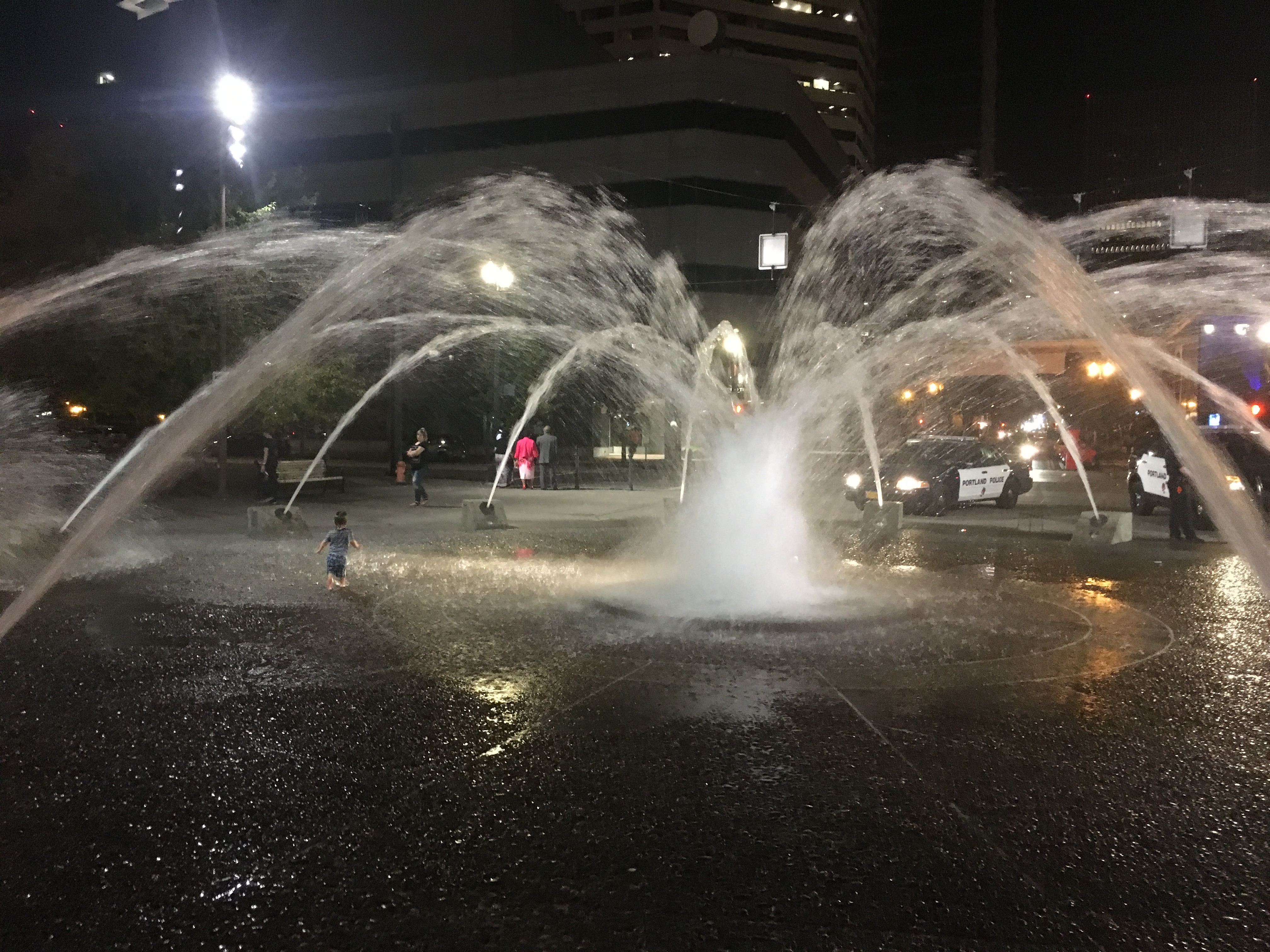
A fountain in Portland
What is the main concept illustrated in this section (e.g., what is an Urban Landscape)?
The concept of Views of the City relates to how people experience a place through sight, taste, smell, and feelings. For instance, I think of the James River, the variety of food, and the smell of smoke when I think of downtown Richmond. There are specific emotions and senses that are evoked when recalling a given place. The maps in this section of the book explain the feeling of being in Portland.
What perspective did you choose to read for this section (e.g., Bridgetown, Under the Bridges, Where the Sidewalk Ends… or Naked City)? Why? How would you describe Portland according to this perspective in a few sentences?
I chose to read Imagined Population Densities because I was surprised that Portland is not a dense city since it is very well-known. I thought it would be interesting to look into how Richmond compares to Portland and other cities around the world. According to the maps in this section, Portland is considered much less dense than the largest city in the world, Dhaka, Pakistan. If the residents of Portland were to live according to the population of Dhaka, they could live in just a fraction of the area of the city. Portland is also not much denser than one of the United States’ least dense cities, Salt Lake City, Utah.
What map would you produce for Richmond to represent this concept? Why? What would be the title of the map? What might the map look like?
I would produce very similar map of Richmond compared to the maps displayed for Portland. I would compare different cities’ population densities to that of Richmond, which is smaller than Portland. I would title the map “Richmond: The Populated, But Expansive City.”
Portland 3
What is the main concept illustrated in this section (e.g., what is an Urban Landscape)?
The Social Relations section describes the interactions between residents of Portland through maps of homelessness, art, and environmentalism. Portland is a unique city and the ideas communicated between one another are important to understanding the relationships within the city. These relationships are critical in developing an identity for Portlanders.
What perspective did you choose to read for this section (e.g., Bridgetown, Under the Bridges, Where the Sidewalk Ends… or Naked City)? Why? How would you describe Portland according to this perspective in a few sentences?
I chose to discuss The Invisibility of Homelessness due to the large homeless population of my hometown, Richmond. I was interested in learning more about this issue in Portland to compare my experience of seeing homelessness in my own city to the city I will visit in just a few weeks. According to the map, there are between 306 and 474 homeless individuals in the center of the city along the Willamette River. Although there are a great number of homeless people in city for its low population density, there are several organizations such as R2DToo that are working to provide shelters.
What map would you produce for Richmond to represent this concept? Why? What would be the title of the map? What might the map look like?
I would create a population density map for homeless people in certain areas of Richmond. For example, I would compare the Fan, Downtown, and Glen Allen. Each of these areas have vastly different homeless populations which would be expressed in the map. I would title the map “Homelessness at Home.”
Portland 4
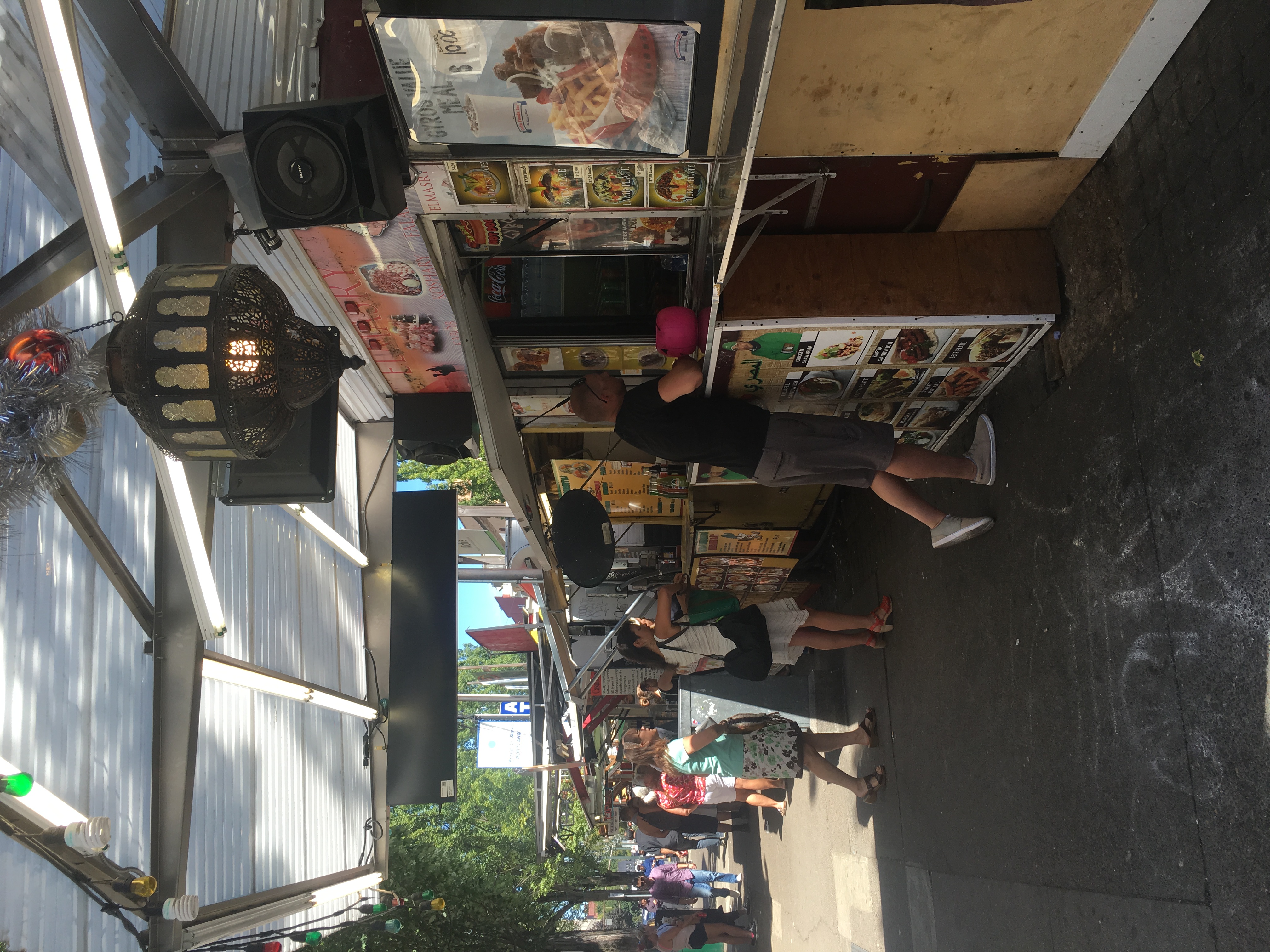
The food carts in Portland
What is the main concept illustrated in this section (e.g., what is an Urban Landscape)?
Portland is known for its food variety and organic food production. This section on Food and Drink explains the different aspects of food that make Portland unique such as restaurants, food carts, and breweries. Portland is surely made for food lovers.
What perspective did you choose to read for this section (e.g., Bridgetown, Under the Bridges, Where the Sidewalk Ends… or Naked City)? Why? How would you describe Portland according to this perspective in a few sentences?
Over the past decade, restaurants, especially fast food, have popped up all over the world. Food is an important part of Richmond’s identity as well and I read this section to see the similarities between Richmond and Portland. Portland has the highest density of restaurants in the metropolitan area which is strange for a city, but not surprising for Portland. This city is known for its food and its 5,287 restaurants in the metro area proves that fact.
What map would you produce for Richmond to represent this concept? Why? What would be the title of the map? What might the map look like?
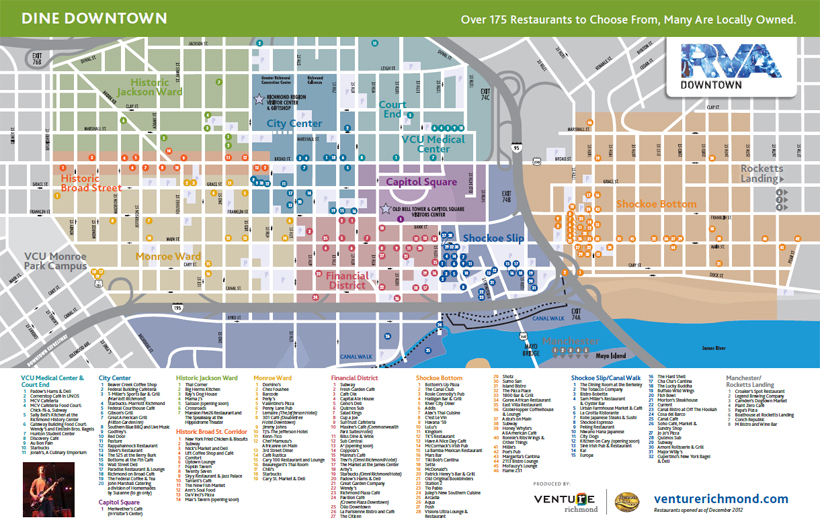
The map above demonstrates the key concepts I would address in a map about Richmond restaurants. It expresses the large number of dining areas in the downtown area; however, I would have expanded the map to show a decrease in restaurants further from the city’s center. I might title the map “Richmond is for Food Lovers.”