Portland 1
Place is an area of land distinguished from surrounding land in some way. Sometimes that defining factor causes the definition of a place, other times the definition of the place gives rise to the defining factors. For example, I spent my summer at home in Norwood, MA. Long ago in 1872 someone decided to draw a boundary between my town and those around it. Since then Norwood has distinguished itself by developing an independent school system, town resident only sports leagues, tax policies different than our those of our neighboring towns, etc. However Norwood is a suburb of Boston, an area that first developed as a center of commerce and transport and was later defined with respect to that.
My preconceived understanding of Portland is primarily based upon it’s stereotype – it is synonymous with the Introduction’s definition of “The New York Times’ Portlandia” (8). From the half episode of Portlandia that I watched, I absorbed an understanding of Portland as a city so quirky and unique in its culture so as to be worthy of a television show exploring said culture. The book’s existence in and of itself reinforces this notion – Portland has a culture that deserves an atlas. However, the atlas doesn’t take Portland’s culture at face value nor does it pretend its culture homogenous. The culture of the City of Portland is made up of the cultures of its neighborhoods, and furthermore it’s neighborhood’s inhabitants. Maps are useful in distinguishing and unifying an area but also in showing the variety that makes up an area.
The way in which I thought of Portland was also influenced by its prevalence on travel and outdoor adventure websites, which left me with the impression of a geographically rich area inhabited by an outdoorsy population. The Introduction reinforces this notion with its decision to introduce Portland as a Cascadian City, thereby characterizing it by the geography of its land instead of its location on a political map.
I had not previously thought of Portlanders as elitist, or racist. In contrast, I imagined it to be a city of welcoming, loving hippies. After noting the Introduction’s mention of this side of Portland, I came across an article deeming Portland as the most racist city in America and another calling it the whitest.
Another thing that I hadn’t thought of before was Portland as a place filled with “people with so many connections to other places in the world (8).” I’ve always thought of Portland’s as a niche for a particular breed of locals, however it’s logical that it’s cultural uniqueness and natural beauty would be attractive to many different types.
The authors chose to introduce Portland as a Cascadian city because, recognizing their power as mapmakers to influence people, they wanted to avoid the stereotypical characterization of Portland. They didn’t want their Atlas to simply reinforce preconceived notions of Portland but instead give honest insight into the “Portlandness” experienced by the city’s everyday inhabitants. In that pursuit, they introduced the city as part of Cascadia, a region unfamiliar to many readers, signaling that most people are equally unfamiliar with the true character of Portland. Cascadia can be defined in many ways – as an Ecotopia, a watershed region, or simply by political borders. Portland being a Cascadian City means that it is a manifestation of those characteristics. It falls in accepted boundaries of Cascadia but also has an eco-conscious, independent culture.
Portlandness is the combination of characteristics that come to mind when describing Portland, such as liberalism, environmental consciousness, and breweries. Maps are useful in illustrating this concept because the embodiment of Portlandness is not black or white but rather a spectrum. Some areas are very stereotypical of the region while other areas may as well be in another state. Moreover there are areas in between these two extremes, easily shown on a map with a color scale.
Portland 2
The authors present Wildness as a characteristic of Portland to describe the interaction, and sometimes battle, between increasing urbanization and the region’s existing ecosystem, as well as between residents desire for both modern comforts and untouched wilderness. For example, in Portland it is not uncommon for moss to grow on cars. I chose to read the “Scattered Showers and Sunbreaks” perspective because for a city with so many outdoor recreation opportunities, it has the reputation of having bad weather. I learned that Portland doesn’t have the most rainfall in the country, but it has the second most cloudy days. Pacific North Westerners even have a term, sunbreak, for temporary sunshine that interrupts the cloudiness. I’d be interested to find out how the cloudiness affects the happiness of residents. Perhaps the negative effects are counterbalanced by the natural beauty of the area. Earlier today at work, a few people were discussing moving to California or Florida because everyone seems happier there. To apply the concept of “Scattered Showers and Sunbreaks” to Richmond, I would place two maps of the East Coast side by side, one using a color scale to show the number of cloudy days a year and the other to show people’s reported happiness levels, on a scale of 1 to 10. The map would be called “Cloudy With a Chance of Happiness.”
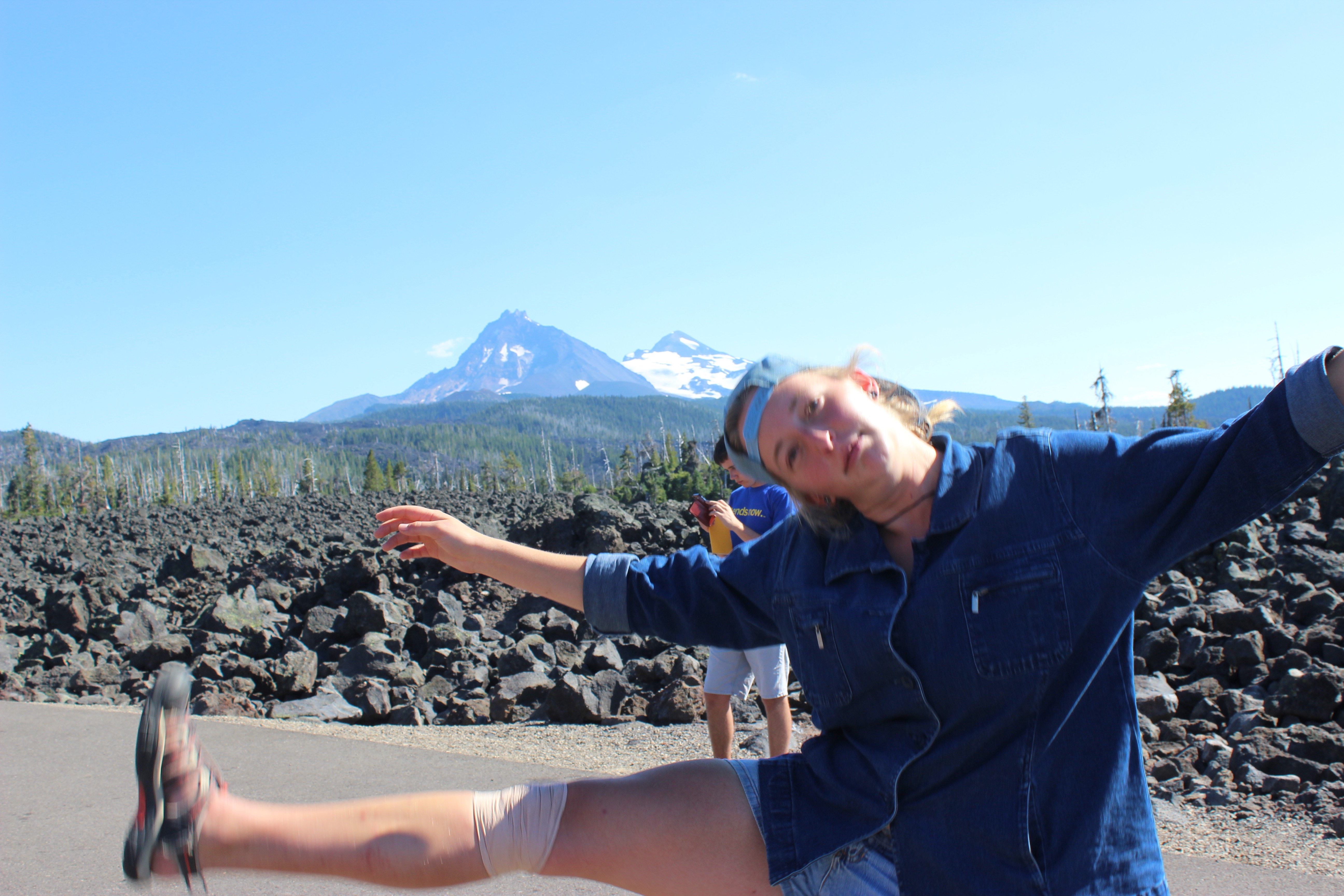
Natalie being happy
Portland 3
The concept of Social Relations is presented as not only relationships people have with other people but also relationships between people and ideas. The section is is an exploration of the type of relationships Portlanders, past and present, have held. The perspective “Mission Invisible” uses only its title and map to show that “the path of least surveillance” between Union Station and Cramer Hall is actually one with no surveillance. I chose this perspective because I think it shows that sometimes text isn’t the best way to convey a message. This map shows that although Portland is well lit and has a decent amount of security cameras, its system is not perfect. It also brings to mind questions of crime rates relative to the surveillance camera density of an area. The map prompted me to think about the blue light system on our own campus. If I were to produce a map of UR representing this topic, it would be a map of campus with the blue lights highlighted and the distances between them noted. This could be extended to VCU and the area surrounding its campuses, encompassing a large portion of urban Richmond. The map’s title would be “Where the Blue Light Doesn’t Shine” or maybe “Let your Blue Light shine,” depending on how prevalent we find the blue lights to be.
Portland 4
The introduction to the section “Food and Drink” presents Portland as a “foodie haven,” and yet again mentions The New York Times’ interest in the area. Food and Drink is meant to convey not only the trends of what people eat and drink but also what less-fortunate people go without. I chose the perspective Any Given Sunday both because the map caught my eye and with respect to a central purpose of the Atlas – presenting Portland as it is on any given day. From the map I learned that people in Portland love Sunday brunch to such an extreme that they will wait hours to be seated for it. To apply the concept of Food and Drink to UR, I would create a map titled “Dining Dollars Down the Drain” that depicts the popularity of the different eateries on campus on any given weekday. It would be a series of maps of campus, each representing a different time of day (breakfast, lunch, dinner, midnight) with the size of the eatery larger or smaller relative to its current business.
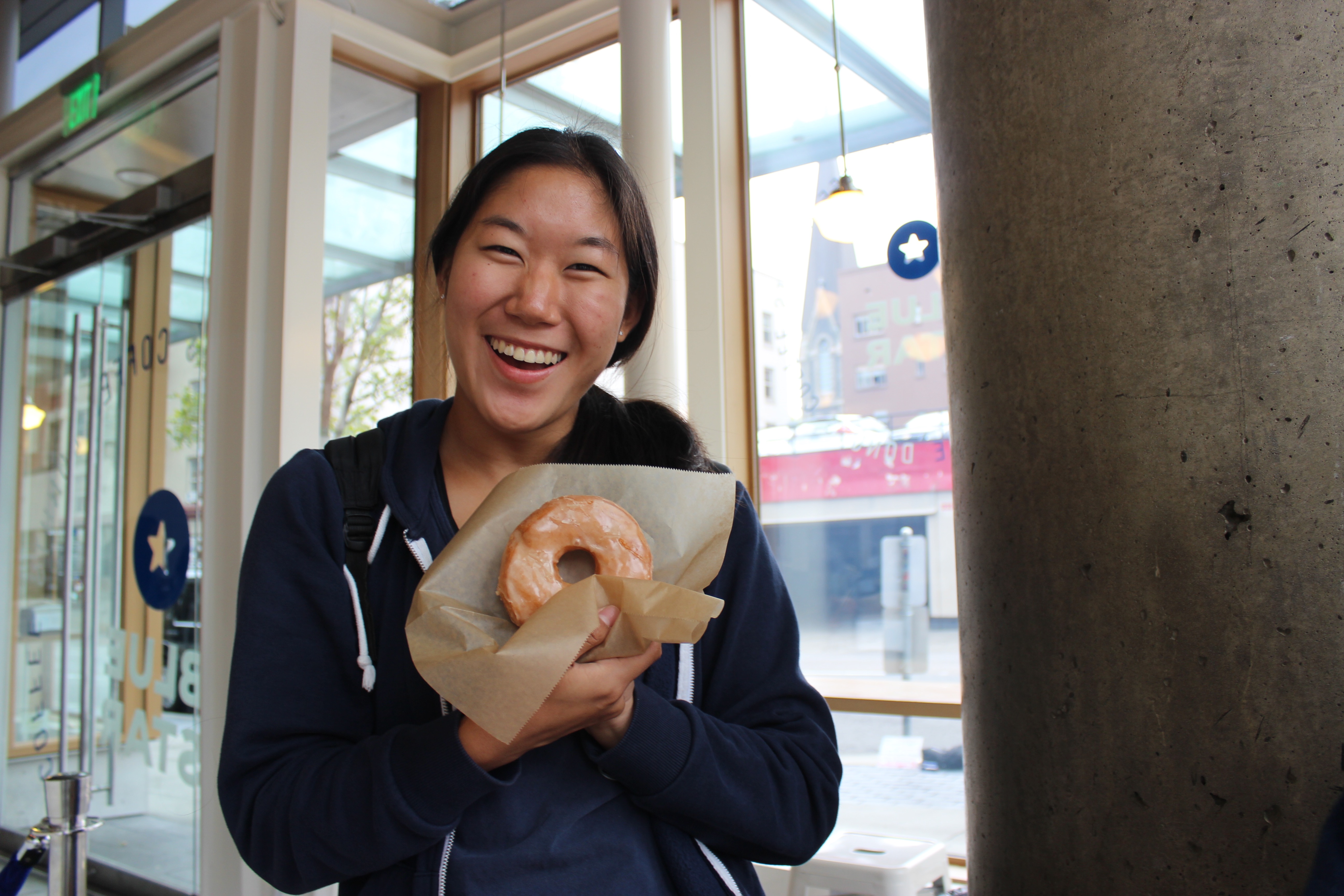
Heera enjoying some local Portland cuisine
Monica Stack
Hi Monica Stack,
I know we may not be close friends, but I just wanted to tell you… big fan of your work. As someone who is now basically a Portland native, I wanted to comment on your reflection of the “Food and Drink” section of the book. I, like you, knew Portland was a very foodie place, but I didn’t realize that all the restaurants would be packed on every night of the week, or that that would not be limited to just the night time. Although I was in Oregon for breakfast on every day BUT Sunday, in Portland, brunch seemed to be the most important meal of the day. For instance, at 7 AM on Friday morning, I went to Mother’s, a really hip, highly rated restaurant nearby known in Portland for brunch. It was already packed. There was a 30 minute wait (which we didn’t have to wait in because we knew a guy) in a restaurant that took up a whole floor of a building. The place was packed with people filling their stomachs with eggs, pancakes, and coffee, conversing with friends and taking their time as if they had no place to be. I think people in Portland treat brunch as if it were a holiday, because everyone seems so stress-free.
Hey Monica!
I agree that sometimes text doesn’t quite portray a place, which is why we have other ways of portraying a place such as through maps, video, pictures, or even a song. Could you expand on what types of relationships between people and ideas have held in the past and present? Though Portland has a good security, I do agree that the Portland’s system, or any system for that matter, is not perfect. But we shouldn’t stop trying to improve Portland’s system or any systems. As a student, I would appreciate a security camera density map between the all the blue light systems on our campus and have it accessible to students. That would be helpful and good use of a map for students on campus.