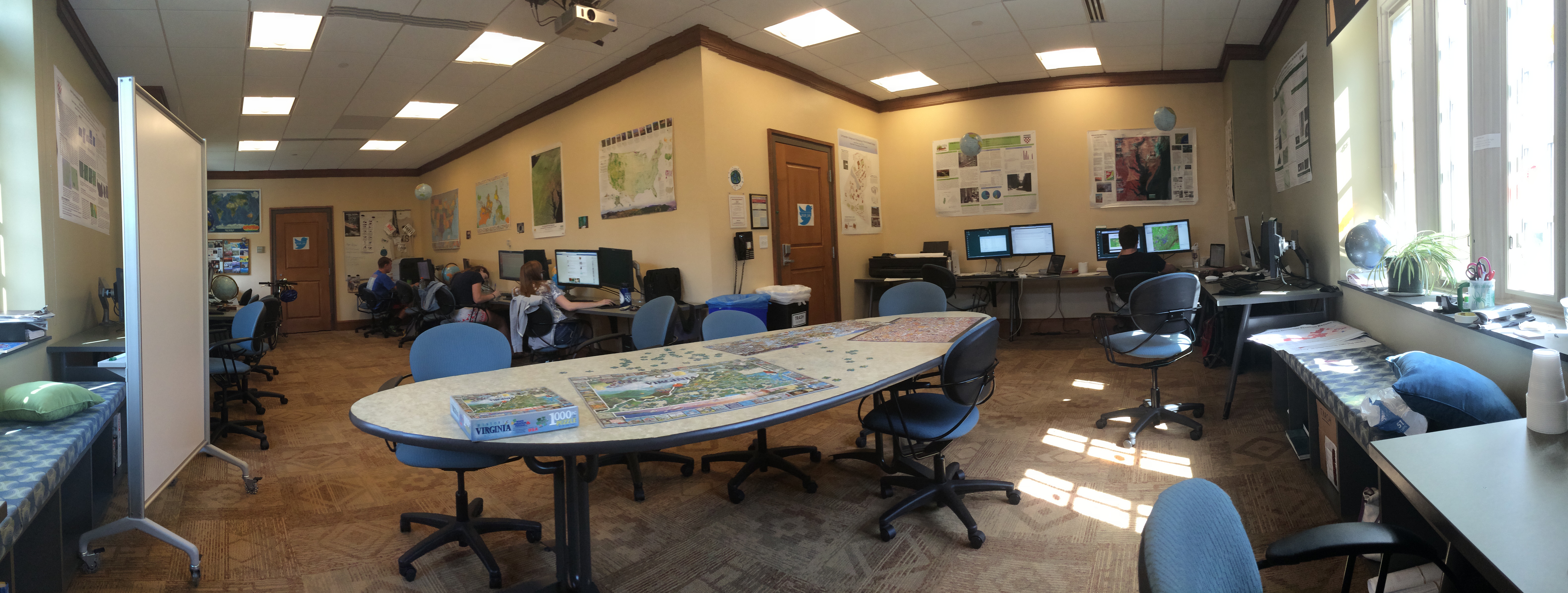
School may be out for the summer, but that doesn’t mean the SAL has been asleep! Instead, we have remained a busy, active place, with many students working on environmental and geospatial research projects. Here’s a quick update of what’s been happening (so far) this summer in the SAL.
- Hunterr P. ’15, the second University of Richmond student to take advantage of the 3-2 program we have with the Nicholas School of the Environment at Duke University (he will start pursuing his Master of Forestry this fall but will receive his undergraduate degree from UR in the Spring of 2015), continues to work on a project with the Virginia Department of Conservation and Recreation (DCR). Using a healthy combination of ENVI and ArcGIS, Hunterr has been working to analyze and classify LANDSAT imagery covering the state of Virginia. His work will help the DCR create a statewide development vulnerability model—which natural areas in the state are most at risk of development?
- Heather C. ’16 and Meghan M. of the College of William and Mary have been helping Dr. Todd Lookingbill prepare a Natural Resources Condition Assessment (NRCA) report for the Booker T. Washington National Monument, located near Roanoke. The NRCA reports, which have been or will be written for many of the units of the National Park Service, analyze the current condition of natural resources in those parks and try to elucidate long-term trends about their resources. In particular, the reports use lots of maps to communicate their results. Dr. Lookingbill has worked with students on prior NRCA reports, including one for Shenandoah National Park; while Booker T. Washington is a much smaller park, there is still a great amount of work involved in creating the report.
- Will H. ’15 is working with Dr. Mary Finley-Brook on her continued efforts toward making the University of Richmond campus a more sustainable, environmentally-friendly place. Will has taken various trips to other universities and conferences to learn about their sustainability efforts and is researching how to implement some of those ideas here. He’s even making some maps to document his findings!
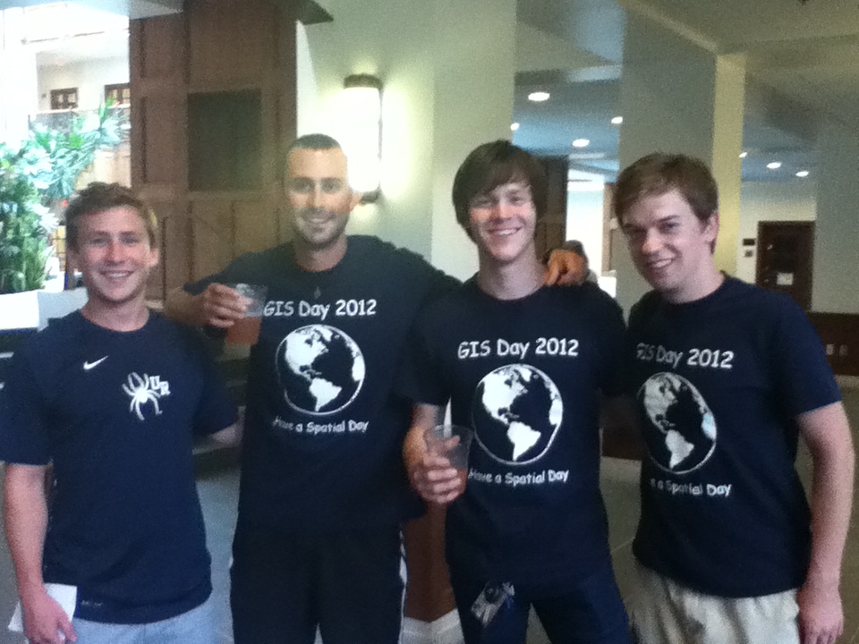
In addition to all this student research, we’ve had a few other notable events. SAL Director Kim Klinker just got back from leading her annual summer study abroad trip to Australia; she has created a storymap showing where the trip went, complete with student reflections about each day’s activities. The University’s Information Services department will be updating the SAL computers later in the summer, updating our software to ArcGIS 10.2 so that our students stay on the cutting edge of GIS technology. Kim and Andrew will be traveling to the Esri Education GIS Conference in San Diego and will present a talk about our campus mapping efforts; they will also get to attend a few days of the big Esri International User Conference, following the Education Conference. And of course, the “World Famous” Spatial Analysis Lab seeks to again dominate the Gottwald Games, a series of lighthearted games held by the science departments labs, to be held next week. Be on the lookout for our custom t-shirts, and start brushing up on your geography skills—we’re hosting a game this year too!
And finally, our current GIS Technician, Andrew Pericak, will be stepping down at the end of this month so that he can began his Master’s study in the fall. Andrew will also be attending the Nicholas School of the Environment at Duke University, where he will pursue a Masters of Environmental Management. But the SAL will not be devoid of a Technician! The Department of Geography and the Environment has hired a new Technician, Chris Brown (as Kim says, No, not that Chris Brown,) who will be starting July 1. Chris brings lots of great technical and analytic GIS experience to the SAL, so hopefully the transition from one Technician to the other will go smoothly.
We here in the SAL are excited for all our exciting summer projects and activities. Yet sooner than we can imagine, the Class of 2018 will be arriving on campus. We look forward to greeting them in August and introducing them to the world of GIS!

