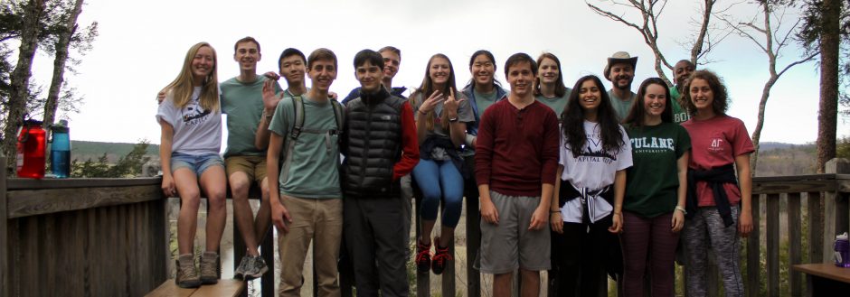
Most people these days find it a necessity to be able to read a road map, but few (besides those geography majors and earth lodgers) would find it useful to navigate through a topographic map. However in my 45-day trekking trip above the Arctic Circle in the Brooks Mountain Range, navigation was a crucial part to survival in the Alaskan Wilderness. Six other women and I had been thrown together, never having known each other, or even spoken to one another before our trip began. Soon we became our own family. Our food came from our re-supplies every 13 days or so, and the plane that re-supplied us could only land in certain parts of the mountains. If we or the plane did not make our way to the designated re-supply spot as scheduled, for any reason, we would have to endure food stress for a period of time and, worst case scenario, have to be airlifted out. This made it essential to be able to decipher a topographic map, with no trails, no roads, nothing but lines that mark the rivers, drainages, valleys and peaks we would be immersed in.
One night, while we were planning one of our hardest mountain passes that we would be hiking the next day, we studied the tiny lines of elevation we were about to climb. There were 25 lines in between the valley and the pass: about 2,500 feet of elevation to gain in a day. This is a challenge by itself with a 74-pound pack; not to mention going back down on the other side that same afternoon. I thought over and over again, “Is that even possible? Can my body physically carry a 74-pound pack that fast up a 2,500 foot elevation gain, and then back down?” I could question myself all I wanted, but I knew that no matter what, I would be on those tiny lines of elevation that next day. Regardless of how much we planned it out and anticipated the trek through the details of the map, the next day I would still have to carry my enormous pack of our shared food and equipment up that slope. The next day we would be feeling the soft tundra moss under our feet doubling the effort of each step, we would be swatting the mosquitoes away from our knees and wiping the sweat from our faces as we climb higher into the sky.
The map we are gathered around is nothing special. It is like any topographic map: a picture, a type of representation of a landscape. But it is not the landscape itself. This difference may seem obvious, but it is easy to overlook. Today we live with symbols and pictures—movies, words, numbers, cell phones, internet—all mapping out life’s landscape of experiences. But they are not the experiences themselves. People watch life in front of them, through movies or on facebook, or texting their friends instead of talking to them in person. Our lives have seemed to turn into watching and reading “life’s maps” but not always experiencing life first-hand. Our trip map alone has no real meaning, no value except to empower us to experience that terrain first-hand, face the real world. It is the experience we are after, the adventure of something seemingly impossible that we must achieve in order to be able to understand ourselves.
It is not enough for all of us to merely study the maps we look at in class in order to get a good grade. I have a bad habit of doing this for my other classes, but in this class especially we must make sure that we are not merely memorizing facts, but instead we are actually taking in what TLB is teaching us. If we study the facts and then promptly forget them after the semester is over, those maps will remain maps until we add our own value to them by using them as a means of enhancing the world around us. TLB can only take us so far, but my fellow earth lodgers, it is up to us to get out there on the land those maps represent and pursue our earth lodge adventures.
Here are some pictures from that particular pass I was talking about:
a glimpse of the steep incline at the start

almost to the top

breathing in mosquitos was a regular thing

at the top, bug shirt poses are rad


Podcast: Play in new window | Download
This is so cool Caroline! I completely empathize with you as far as practical learning goes. I am so guilty of this, especially when it comes to things I know little or nothing about (such as maps), and I think this focus should be shifted to our Action rather than our A’s. Way to go on a super inspirational post!
Wait, Caroline, you went to ALASKA?!?!? hah, just kidding.
These are beautiful. The last couple times I went skiing out west I was able to see some scenery somewhat similar to those pictures. I mean it wasn’t !!!ALASKA!!! but it was still pretty amazing. I wanted to explore far more than I was able to do so due to time and lack of equipment, but I’m hoping it will happen some day in the near future.
thanks dudes!
Looking back at this post, I am pretty proud of what I wrote. I somewhat wish I had saved this idea for my 1000 word essay. Oh well. But this was inspired a bit by this book we read on my canuck (30-day canoeing trip in northern Saskatchewan) called Paddle Whispers by Douglas Wood. Here are some wonderful quotes in his book that I truly admire:
“The fairest thing that we can experience is the mysterious. It is the fundamental emotion at the cradle of true art and true science. He who knows it not is a good as a dead, snuffed out candle…”
“The old Lakota was wise. He knew that man’s heart, away from nature, becomes hard; he knew that lack of respect for growing, living things soon led to lack of respect for humans too.”