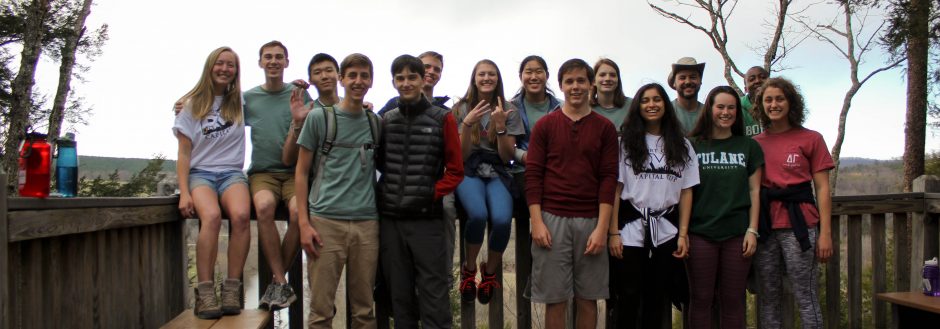
As we packed up the van and drove off on the rainy Friday morning, I had no idea how to feel about the trip we were about to take. With plans already collapsing due to the government shutdown and the need for backups-to-our-backups due to the inclement weather, I didn’t know what to expect. The only thing I partially expected was the bonding that past Lodgers have described. And while there was a lot of bonding with each other throughout the trip, I also found myself developing a closer relationship with and learning a lot about the Chesapeake Bay, the larger watershed we call home.
Our first major stop was at Harpers Ferry. This quaint little town is situated at the confluence of the Shenandoah and the Potomac and it exuded an aura of history. As we made our way down the tiny streets, past John Brown’s Fort, and onto the bridge, the story of the river was apparent. Looking from a historical lens, on the opposite side of the Potomac sat a dried-up overgrown canal, clearly made obsolete by the railroad system whose tracks we were adjacent. From an environmental perspective, the confluence itself spoke volumes. The Shenandoah, a windy mountain tributary of the Potomac, carried with it large amounts of sediment, as evidenced by its dirty brown color. We were near the beginning of the Potomac and things weren’t looking so good.
The next day we found ourselves downriver, in Washington, D.C. Based on what we had seen the day before, combined with the fact that we were within eyesight of an urban area, I was not optimistic as we began out journey to investigate the state of the Potomac River. Needless to say, I was surprised at what we found. While the Potomac is by no means healthy, as it was rated the #1 Most Endangered River of 2012, it was better than I expected for a river running through the heart of a major metropolitan area. Nitrogen, Phosphorous, and sediment are still problems in the Potomac, but there are some great efforts in place with the hopes of returning the river to optimal conditions. The most impressive one is the wastewater treatment plant at Blue Plains, as it uses innovative techniques to filter, process, and clean wastewater in a way that harnesses methane from the waste to be used to power the plant.
Our second day trip took us to the eastern side of the Bay to the Miles River. As we cruised along in the skipjack, we learned about the history of oyster farming and how the current conditions of the river are effecting the population of oysters. After collecting only one live oyster, we tested the water quality. Similar to our earlier findings, the Miles suffers from chemical and sediment pollution. Shocking to everyone was the level at which we found nitrates in the water. Attributed to the sheer amount of farmland on the Delmarva Peninsula, the nitrate levels were off the charts.
Overall, the tests we performed on the tributaries of the Chesapeake Bay were snapshots of the water quality conditions. While the conditions may be improving due to efforts made in reaction to the 1972 Clean Water Act or the new TMDL levels established for the Bay, there is still a ways to go. Nitrate levels in the Bay are extremely high. These increased levels of nutrients can cause algal blooms to form, which in turn decrease light penetration into the water column and can lead to dead zones. Another problem is that many organisms are at risk in the Bay including oysters, blue crabs, horseshoe crabs, etc.
However, these conditions will not change unless they are acted upon. And people cannot act upon these issues until they are made aware of them. This goes back to the Awareness-Appraisal Model. In my opinion, the hands-on aspect of the programs that we were a part of really drove home the message about the conditions in the Bay and the need for solutions to fix them. They were a fun and interactive way to get people invested and to start the conversation about the health of our watershed. The one that we call home.
