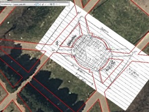
Post by Shaquille Christmas ’15 This post was from February 2016 This week students in the GEOG 280 course “Maps and Geovisualization” got a taste of how challenging it was for early Cartographers to survey an area, and draw what they saw—with a high level of accuracy. Students went into the Jepson quad and created a …

