The Spatial Analysis Lab at the University of Richmond is pleased to announce a new Student map Competition. This competition is to promote and reward student work in the broad and interdisciplinary area of geo-visualization from students at the University of Richmond. Timmons Group, a multi-disciplined engineering and technology firm headquartered in Richmond, has generously …
Category: SAL
Nov 12
Come Celebrate GIS Day With Us During East Asia Week!
November 12, 2019 This week the University of Richmond is celebrating East Asia Week, a cross-campus celebration of International Education Week! There are so many events on campus- what a great opportunity to learn more about global cultural, physical, and political geographies! And the most exciting part of the week? UR is hosting GIS Day …
Apr 06
VAMLIS 2018 Winners
University of Richmond students from the Advanced Spatial Analysis course took home 1st, 2nd, and 3rd place in the Undergraduate Web Map competition at the 2018 VAMLIS Virginia GIS Conference in Virginia Beach. Congratulations to these amazing students!!! Check out their web maps below! 1st: Emily Routman ’20 Immigrants account for around 17% …
Jul 07
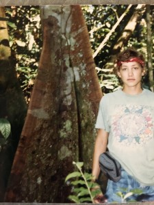
Do These Buttress Roots Make My Trunk Look Big?
Post by Kim Browne The past four summers I’ve had the good fortune of leading students to Australia for an intensive field experience which includes visits to two World Heritage sites: the Wet Tropics of North Queensland and the Great Barrier Reef. These sites are connected (literally and littorally) by the rain that falls along …
Jul 06
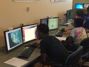
Richmond Math Science Investigators (MSI) in the SAL
Post by Marissa Parker ’16 This summer, the SAL is hosting four rising 10th grade students from Richmond Public Schools in the Richmond Math Science Investigators (MSI) program. The goal of MSI is to increase the number of students pursuing a career in science, technology, engineering, and mathematics (STEM) fields. The students are interested in …
May 24
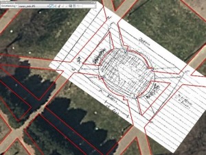
Geo-Referencing the Jepson Quad
Post by Shaquille Christmas ’15 This post was from February 2016 This week students in the GEOG 280 course “Maps and Geovisualization” got a taste of how challenging it was for early Cartographers to survey an area, and draw what they saw—with a high level of accuracy. Students went into the Jepson quad and created a …
Jul 22
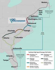
GIS in Action: DC2RVA Field Trip
Post by Shaquille Christmas ’16 A couple weeks ago we visited the Richmond office of Henningson, Durham, and Richardson, Inc (HDR), which is an architectural, engineering and consulting firm based in Omaha, Nebraska. UR alum and former SAL researcher extraordinaire Bridget Ward recently started working there as a GIS consultant in the transportation division. Bridget and …
Jul 01
Streetview for Trails: Online Mapping with Terrain360
Post by Jared Goldbach Ehmer ’17 This week in the SAL, we continued working with Ryan Abrahamsen from Terrain360. Last week we modified visual hierarchies on basemaps to make them more aesthetically pleasing. To do this, we used the open source program called Mapbox. Mapbox required us to code in CSS, something none of us had …
Jan 05
Winter Workshop Series
Wed., January 21, 10:30-11:30 am Web Mapping with CartoDB Tuesday, January 27, 10:30-11:30 am ESRI Maps for Microsoft Office Thursday, February 5, 3:00-4:00 pm “How to Lie with Maps” Wed., February 18, 3:00-4:00 pm Mapping in ArcGIS Desktop Tuesday, March 3, 10:30-11:30 am Interpolating U.S. Census Data
Jun 24
Summer in the SAL 2014
School may be out for the summer, but that doesn’t mean the SAL has been asleep! Instead, we have remained a busy, active place, with many students working on environmental and geospatial research projects. Here’s a quick update of what’s been happening (so far) this summer in the SAL. Hunterr P. ’15, the second University …
- 1
- 2

