Author's posts
Jul 06
Richmond Math Science Investigators (MSI) in the SAL
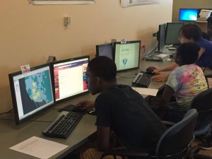
Post by Marissa Parker ’16 This summer, the SAL is hosting four rising 10th grade students from Richmond Public Schools in the Richmond Math Science Investigators (MSI) program. The goal of MSI is to increase the number of students pursuing a career in science, technology, engineering, and mathematics (STEM) fields. The students are interested in …
May 24
Geo-Referencing the Jepson Quad
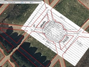
Post by Shaquille Christmas ’15 This post was from February 2016 This week students in the GEOG 280 course “Maps and Geovisualization” got a taste of how challenging it was for early Cartographers to survey an area, and draw what they saw—with a high level of accuracy. Students went into the Jepson quad and created a …
Jan 12
Newport News Students Explore Environmental Issues in their Community with GIS
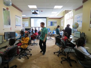
Post by Dr. Mary Finley-Brook Children from the Southeast Care Coalition and Southeast Asthma Network of Newport News attended a workshop in the Spatial Analysis Lab (SAL) on December 5, 2015. SAL Intern Jared Goldback Ehmer (’17) led a Google Earth demonstration examining social and environmental issues in the children’s neighborhood. The workshop was taught …
Nov 11
GIS Day 2015
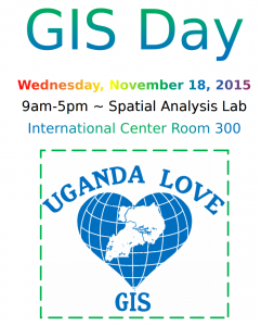
On Wednesday November 18th GIS nerds across the globe will come together to celebrate all things GIS! As always we’ll have our fabulous cake contest to see who can win for their creativity and design skills! Check out some of the awesome things we have planned below: Schedule 9:00-10:00 – Breakfast Welcome/Open House 10:00 …
Aug 26
Resources for Learning ArcGIS – Self Guided
Hi All, In the first few months of my position as GIS Technician here in the SAL I have had multiple conversations with students, faculty, and staff who would like to learn to use GIS, but do not have the time to take a full course. One of the wonderful things about ArcGIS (and there …
Jul 27
Natural Resource Condition Assessment for Booker T. Washington National Monument
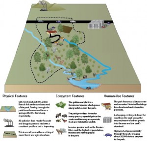
Post by Heather Courtenay ’16 In the background of the rest of the SAL research, Dr. Lookingbill and I have been working on revisions for a paper that was started last summer on Booker T. Washington National Monument (BOWA). The paper is a Natural Resource Condition Assessment (NRCA) for the National Park Service, which is formulated …
Jul 22
GIS in Action: DC2RVA Field Trip
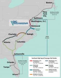
Post by Shaquille Christmas ’16 A couple weeks ago we visited the Richmond office of Henningson, Durham, and Richardson, Inc (HDR), which is an architectural, engineering and consulting firm based in Omaha, Nebraska. UR alum and former SAL researcher extraordinaire Bridget Ward recently started working there as a GIS consultant in the transportation division. Bridget and …
Jul 01
Streetview for Trails: Online Mapping with Terrain360
Post by Jared Goldbach Ehmer ’17 This week in the SAL, we continued working with Ryan Abrahamsen from Terrain360. Last week we modified visual hierarchies on basemaps to make them more aesthetically pleasing. To do this, we used the open source program called Mapbox. Mapbox required us to code in CSS, something none of us had …
Jun 05
Proposing a New National Natural Landmark: Bear Rocks, WV
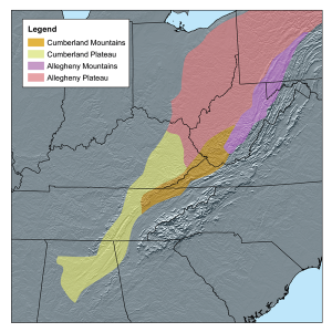
Post by Natalie Somerville ’17 Hey friends! I’m Natalie and I have the good fortune of doing research with Todd Lookingbill during May and June of this summer. I am working on writing a proposal to the National Park Service to suggest adding a new landmark to their National Registry of Natural Landmarks. Now, if …

