
GIS Day 2017: Celebrating 10 Years of GIS Day at University of Richmond

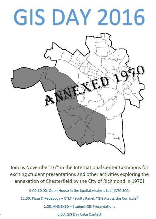
GIS Day 2016: Wednesday November 16
Join us for GIS Day 2016 as students from the Intro to GIS classes explore the Annexation of Chesterfield County by the City of Richmond in 1970, as featured in Dr. John Moeser’s book Politics of Annexation: Oligarchic Power in a Southern City
As always we will have our world famous cake contest and other fun activities!
GIS Day 2015
Thanks to everybody who came out to celebrate GIS Day with us! We look forward to seeing you again in the SAL for GIS Day 2016. We welcome the entire University of Richmond community to join us in the Spatial Analysis Lab for the festivities! Here are some pictures of all the fun we had!
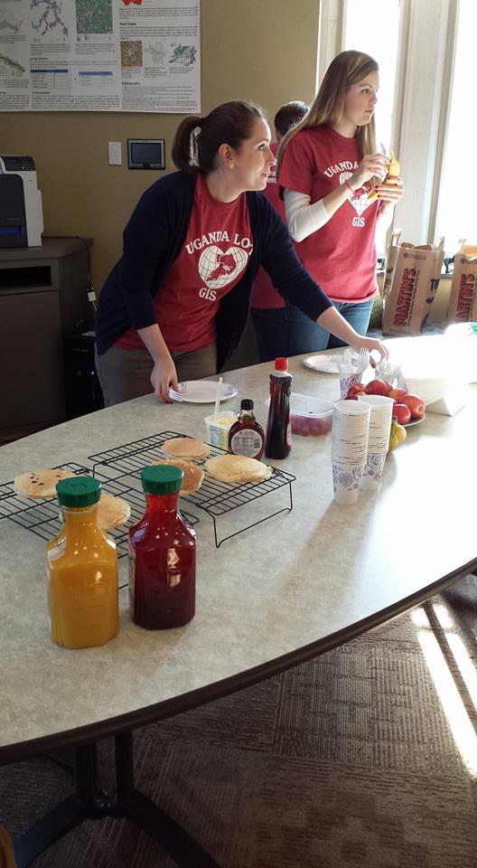
Courtney and Zoe getting ready for some delicious pancakes
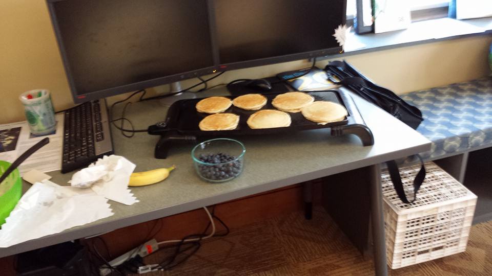
Pancakes!
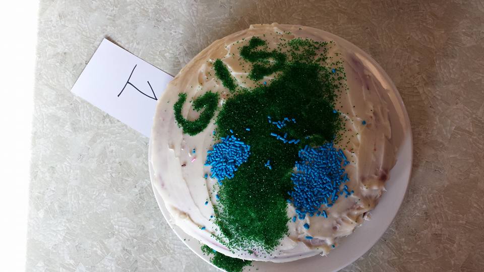
The ONLY cake entry this year. Let’s do better next year!
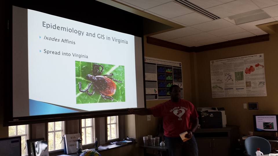
Senior Shaquille Christmas presents on his independent study with Dr. Jory Brinkerhoff using GIS to analyze the spread of Lyme disease in Virginia
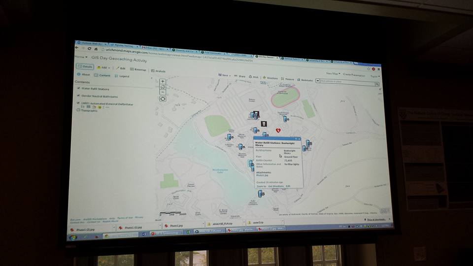
Interactive live campus geocaching activity where students “hunted” water refill stations, gender neutral bathrooms, and AED locations for prizes
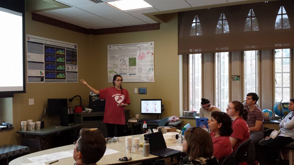
Senior Olivia Mobayed presents research on poverty and race in the Richmond region as part of our partnership with Dr. John Moeser in the CCE
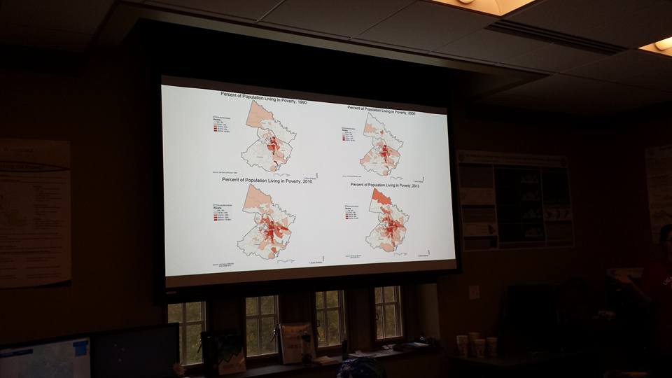
Mapping the spread of poverty from 1990 to 2013
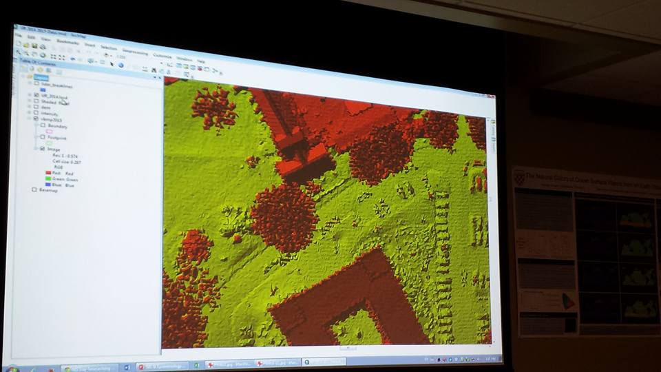
Dr. John Scrivani shows students LiDAR data for campus during the Campus GIS Showcase
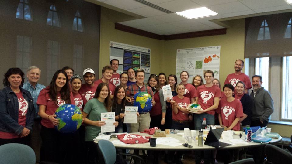
Group photo from GIS Day 2015 in the SAL! Thanks for joining us!
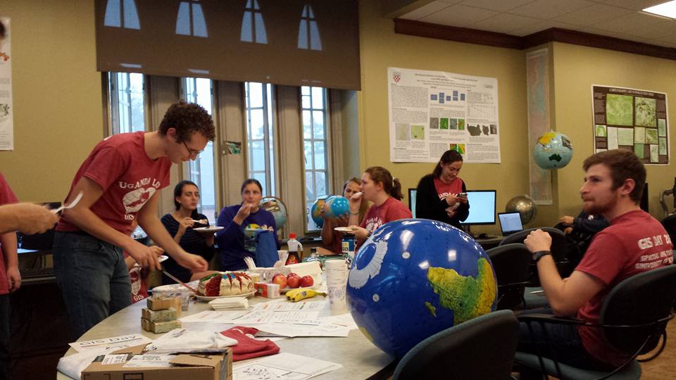
Everyone enjoying some cake and GIS Day music videos
GIS Day 2014 Schedule:

This video explains GIS Day: