Post by Shaquille Christmas ’16
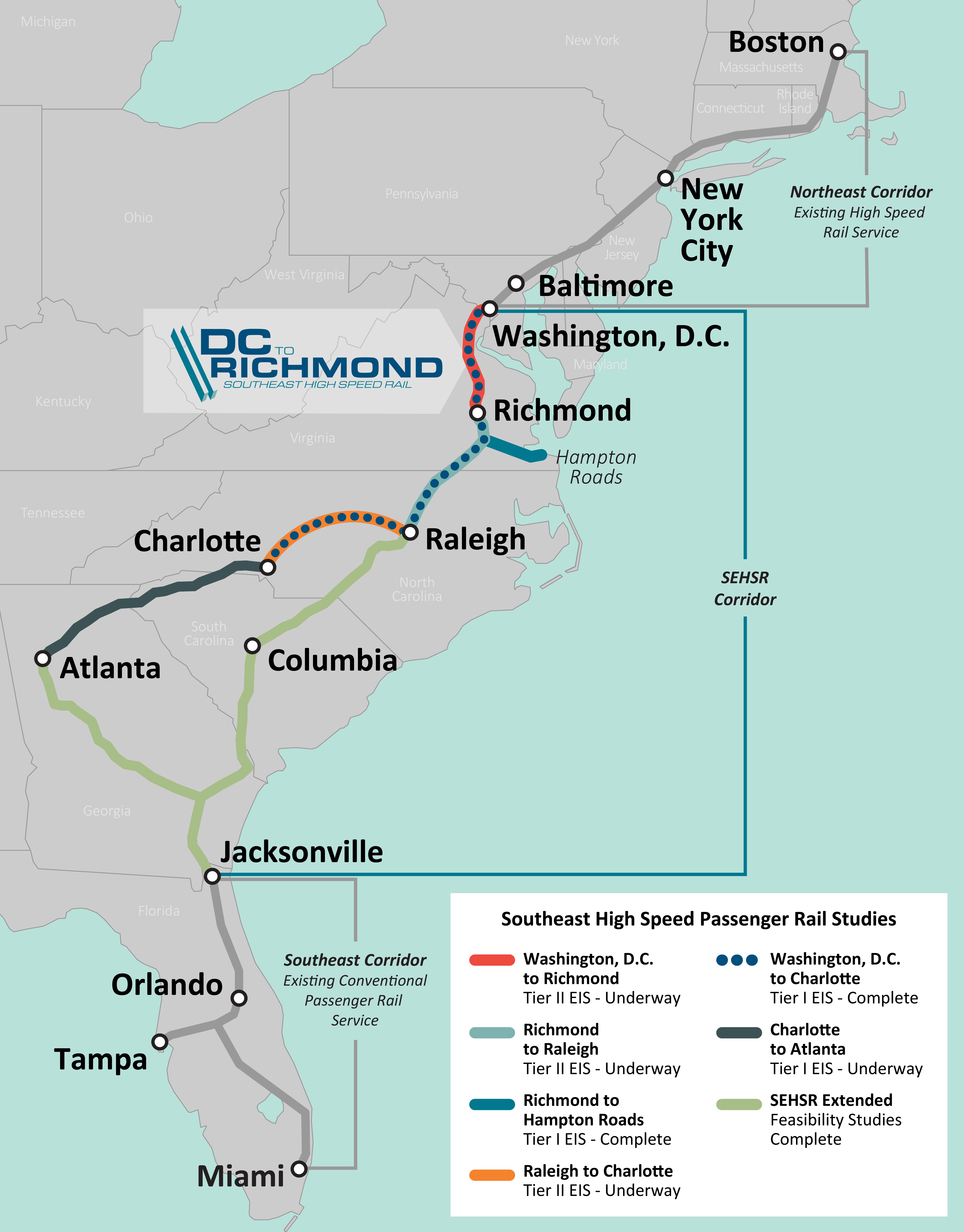
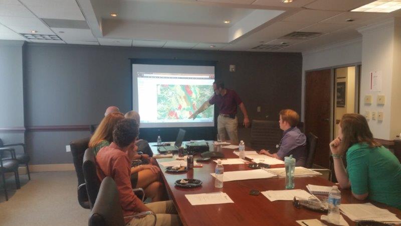
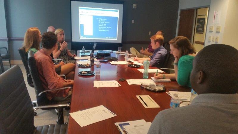
A couple weeks ago we visited the Richmond office of Henningson, Durham, and Richardson, Inc (HDR), which is an architectural, engineering and consulting firm based in Omaha, Nebraska. UR alum and former SAL researcher extraordinaire Bridget Ward recently started working there as a GIS consultant in the transportation division. Bridget and her colleagues spoke to us about the DC to Richmond South East High Speed Rail project they are spearheading the planning for. They detailed the different ways in which HDR uses Geographic Information Systems (GIS) to support not only the DC to Richmond rail project, but also many of their other projects. These uses include preparing bids for contracts, performing analysis for various departments before and during construction, and especially communicating with the public. Below is a map they created showing the proposed rail route.
One of the other interesting projects they talked about was an expansion of Route 460 that was delayed and ultimately drastically changed due to another contractor using inaccurate data to make decisions about impacts on wetland health. Since we have worked with wetland data on several projects over the summer it was cool to see how important accurate and detailed analysis is, and how detrimental careless errors can be!
Overall, our time spent at HDR was both invaluable and inspiring. Bridget and her team gave us several homework projects of cool tool and methods we should learn to prepare for working in a professional and team environment. It is my hope that other students are getting experiences such as this, and are receiving advice on how to best put their GIS skills to use as they consider potential career paths.


2 comments
Can’t wait for this high speed train! Just curious, what does “high speed” actually mean?
Unfortunately it is not the “high speed” we think of when we think of European trains or the sort being built in California. It’s a more streamlined path that allows the trains to move faster than they currently do, but not at the breakneck speeds we would love. Because there is so much development around the current rail lines they are expanding it would be far far more expensive and time consuming to redevelop and disrupt areas around there such as road crossings so the trains don’t have to slow down.