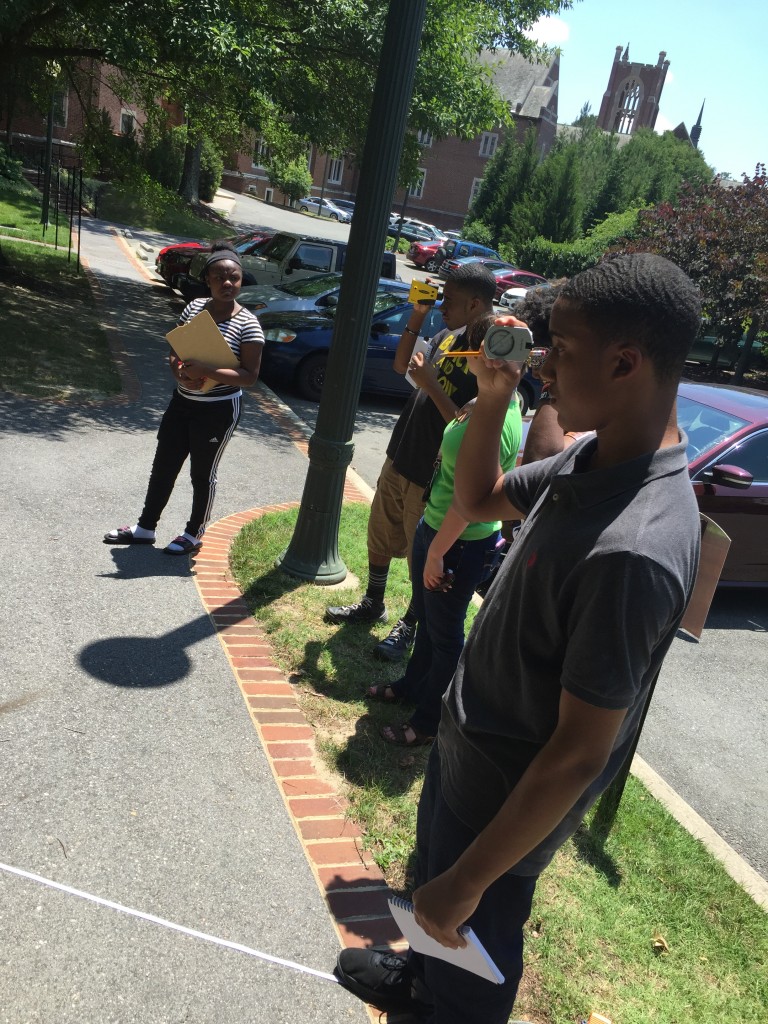
This week our wonderful MSI students took their experience outside the lab and completed some fieldwork. They contributed to our campus tree inventory, which I actually started 4 years ago in the summer after my freshman year. We collected species, diameter, height, and location for over 800 trees on campus and estimates how much carbon they stored. The original inventory can be found below:
This past year students in our Earth Systems and Physical Geography course (GEOG 250) have been adding trees to the map using GPS units and the ArcCollector app. Our MSI students got to do so as well! Without further ado, here is the experience in their own words:
Shanaya
Starting this week we’ve participated in field work. It was very interesting and it provided a fun experience. Markee and I evaluated many different trees outside of the lab. I measured the height using the laser Rangefinder and Markee focused on diameter of the tree. Together we managed to figure out the name and species of the trees. My favorite part of the field work was interacting with my partners and realizing how much information you can get about a tree by only using a few tools.
Markee
The field work I’ve been doing outside for GIS at the University of Richmond was a little tough at first. I really didn’t know how to use any of the tools. Measuring the trees can be tiring but the results are worth it. The tool I like using the most is the laser Rangefinder. It measures how tall the tree is in meters. I like finding out what type of species the tree is. That’s the part that takes the longest.

Students using the laser range finder, after having measured their distance from the tree using the tape measure on the ground.
Jonathan
My name is Jonathan and I learned and did a lot during these sessions of field work. We started off with having to know how to calculate the Diameter at Breast Height (DBH) of a tree. Then we learned how to calculate the height of the tree using degree measures on a Rangefinder. Then we did some review and practiced with finding GPS locations and reading coordinates. Once these objectives were completed we went out and put what we learned to the test. At first we had to use a sheet and write down the information. Then we used an app created by ESRI, so we could enter all the information on our phones and it logged the tree into the ArcCollector app on a map. So from this experience I learned a lot and had fun as well.
Stephon
We have been trying to figure out ways to solve global climate change. Tons of greenhouse gases such as carbon dioxide are emitted every day. These gases overheat and pollute the environment, and will gradually get worse over time we don’t do something soon. Since trees are able to store carbon dioxide, we have been researching exactly how much carbon dioxide various species of trees are capable of sequestering. Over the past few weeks, we have been conducting fieldwork at the University of Richmond to determine the amount of carbon dioxide different trees can store. We use DBH (Diameter at Breast Height), range finders, dichotomous keys, and global positioning systems to gather data of the trees on campus. I hope that the data we gather of tree sequestration can be used to help solve global climate change.