
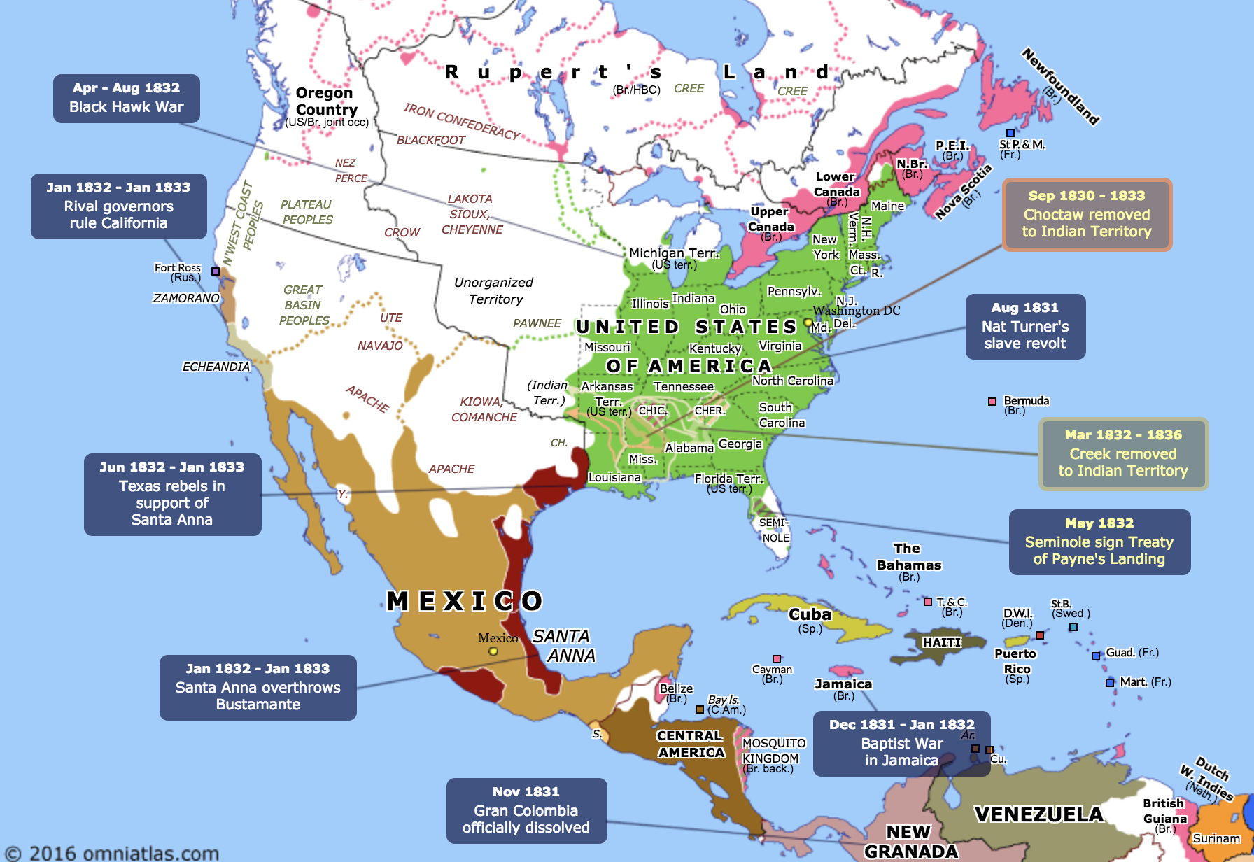
The Atlas of the Week that I selected showcases various maps of North America beginning in 1821 and continuing into the present. Colors indicate political control by country, and major battles are indicated with a roll-over feature for more information. This map helps organize all of the various events jumbled in our head from 10th grade history into a series of comprehensive and easy to follow displays. For more info, check out this interactive map at
http://omniatlas.com/maps/northamerica/18321012/